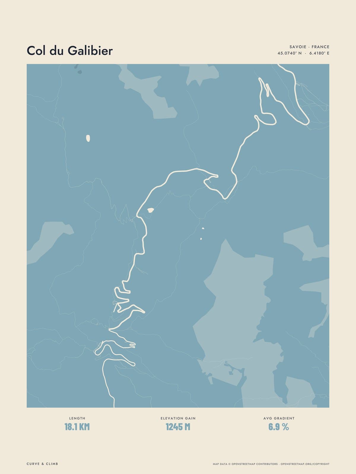
Nº 16 · Lay of the Land
COL DU GALIBIER
Savoie, France
ATLAS DUSKY BLUE
Buy any three Lay of the Land maps together and take 10% off each.
Shipping from €4.95; you choose the country in your bag.
€39
Printed from the catalogue artwork shown here, so there is no proof step.
On the wall
Shown: 45 × 60 cm, black frame. Room scenes are illustrations.
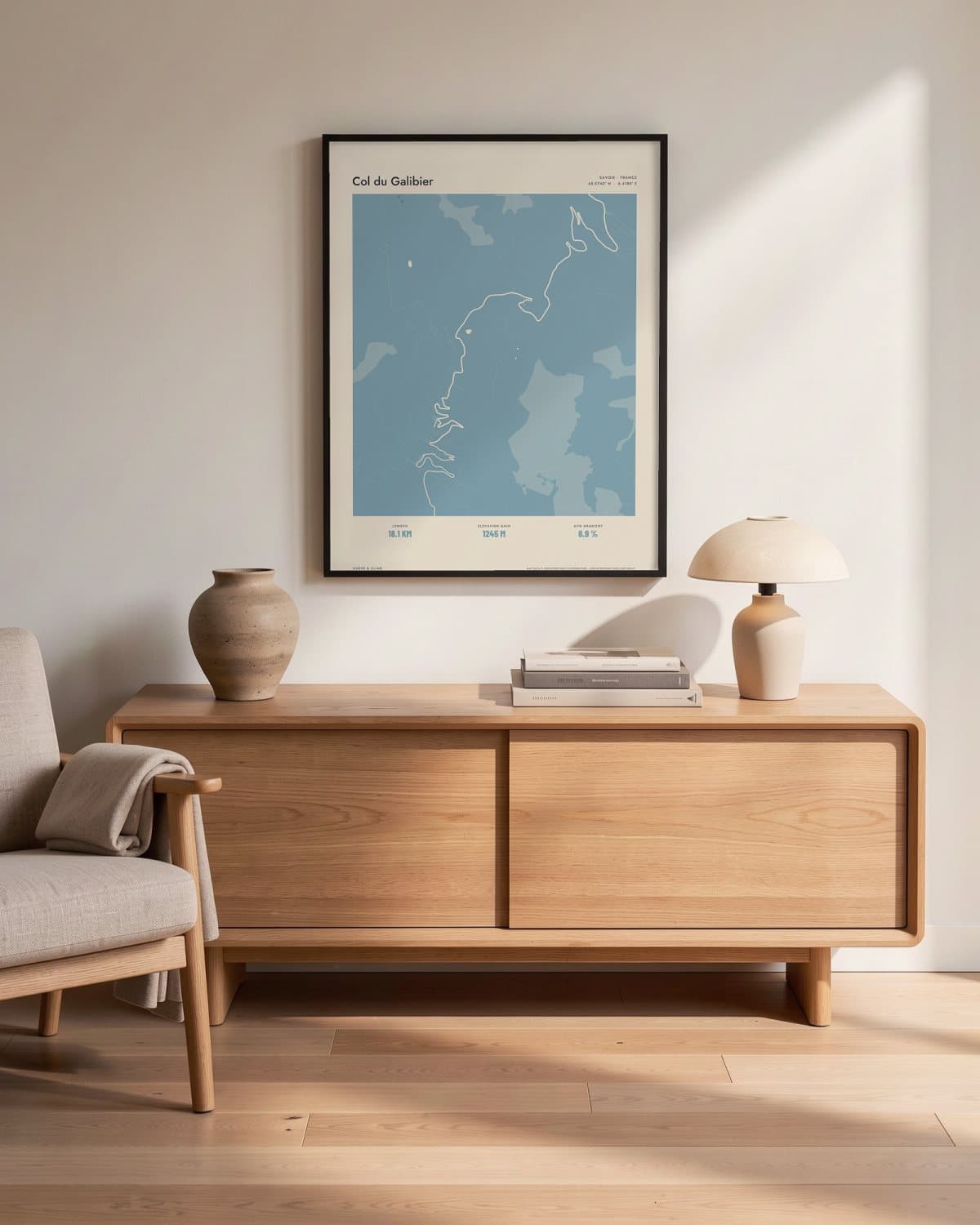
Living room 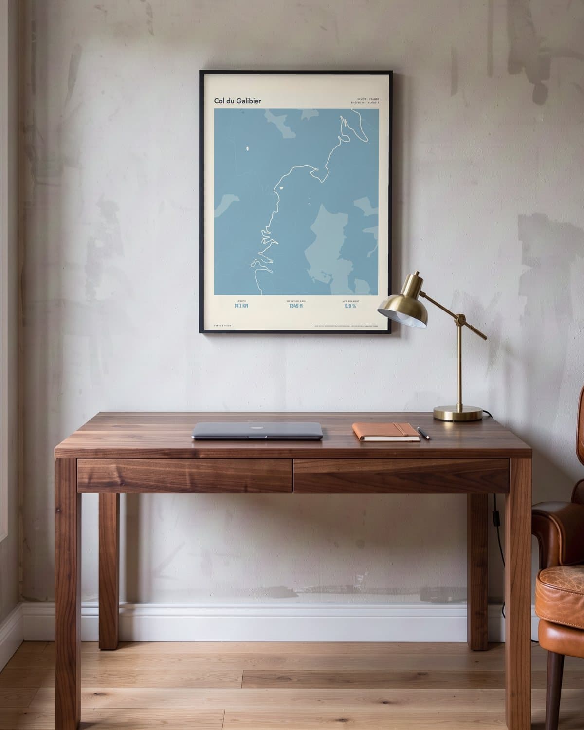
Home office 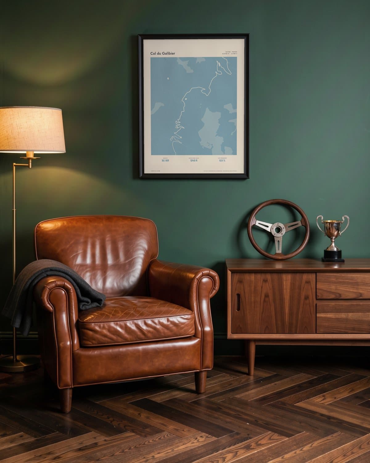
Green den 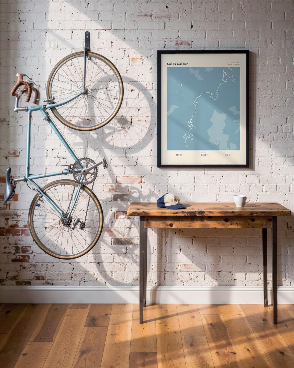
Loft
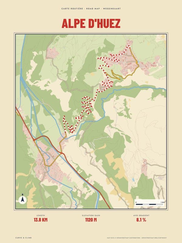
- Length
- 18.1KM
- Elevation gain
- 1245M
- Avg gradient
- 6.9%
The route in this map
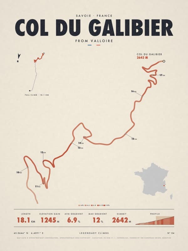
The facts under the map are those of Col du Galibier. The route is also sold as its own poster.
See the Col du Galibier posterThe story
Lay of the Land: the whole of Col du Galibier in one drawing, streets, water, woods and hills included, with the route drawn into the map. Atlas prints the whole map tone on tone in dusky blue, with the streets and the route in paper white. From Valloire the Galibier lets you settle in. For about ten kilometres the road follows a wide, open valley, climbing steadily while the mountains around you turn ever more barren. At Plan Lachat the easy part is over: from there it is roughly eight kilometres at around 8.5 per cent, zigzagging up the bare slope. At Les Granges du Galibier, some four kilometres from the top, stands the memorial to Marco Pantani. The old tunnel is closed to cyclists, so you go over the real summit, above 2,600 metres, with the monument to Henri Desgrange just beyond. For riders who remember the thin air up there.
Print details
Paper and print
Printed to order by our print partner on Enhanced Matte Art paper (200 gsm). Framed prints come in a slim classic frame, black or natural, with acrylic glazing and no mount.
Delivery
We deliver across the EU. Delivery in the Netherlands usually takes 5–10 working days after your order, elsewhere in the EU a few days longer; personalised prints go into production only after you approve the proof.
Returns
Standard prints: 14 days to change your mind after delivery. Personalised prints are made to your details and cannot be returned, but you approve the exact proof first. Damaged or faulty prints are always replaced.
Sources. Map data © OpenStreetMap contributors (openstreetmap.org/copyright). Drawn with our own renderer; facts from our catalogue entry for the route.