Nº 03 · Cycling climb
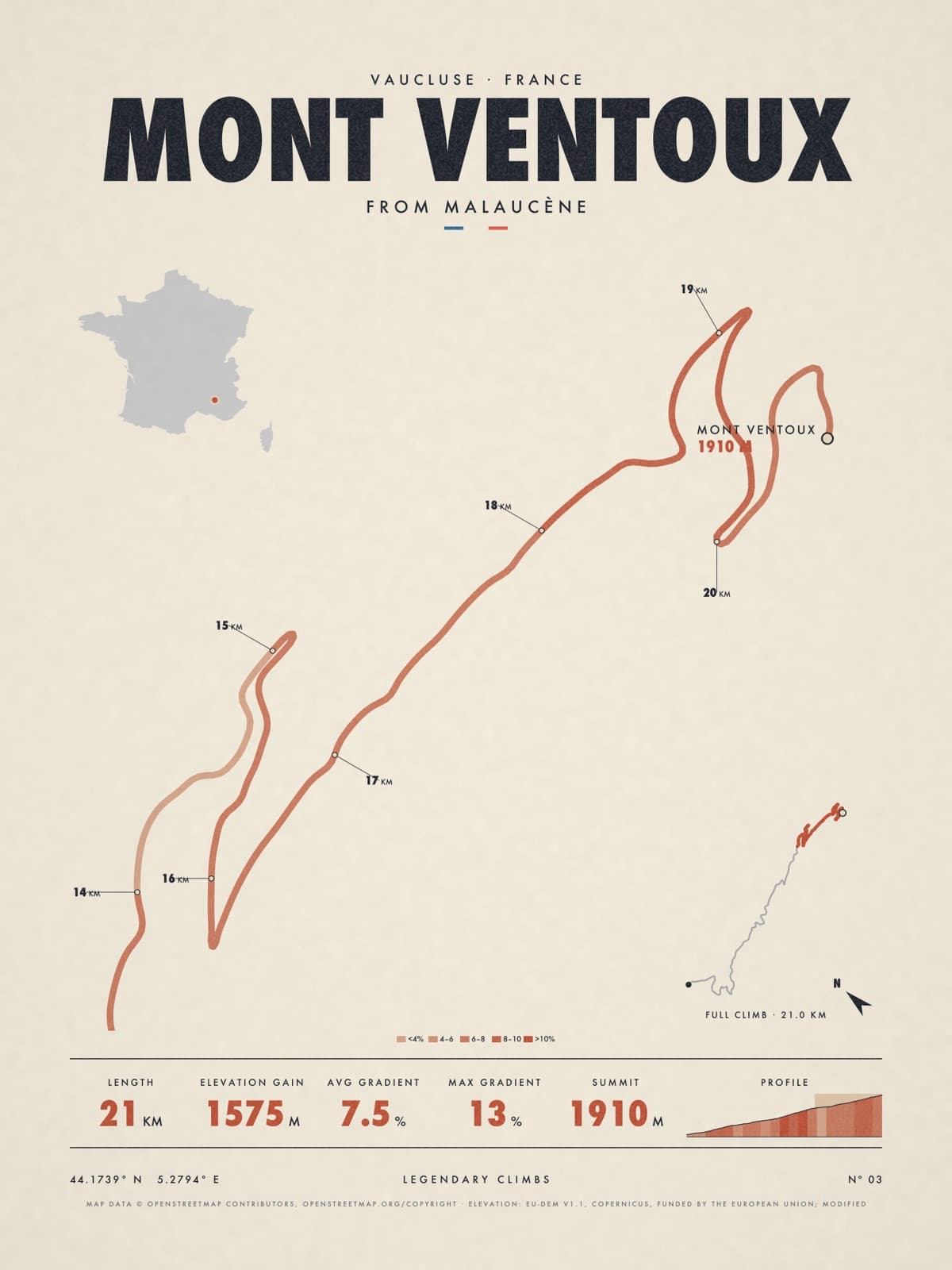
MONT VENTOUX
Vaucluse, France
FROM MALAUCÈNE
Shipping from €4.95; you choose the country in your bag.
€39
Printed from the catalogue artwork shown here, so there is no proof step.
On the wall
Shown: 45 × 60 cm, black frame. Room scenes are illustrations.
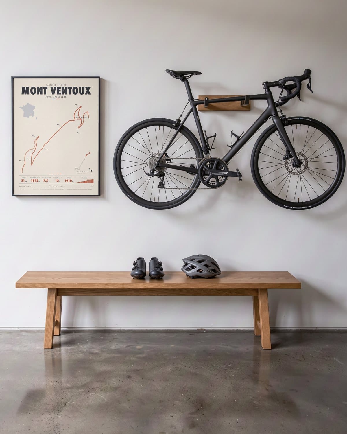
Hallway 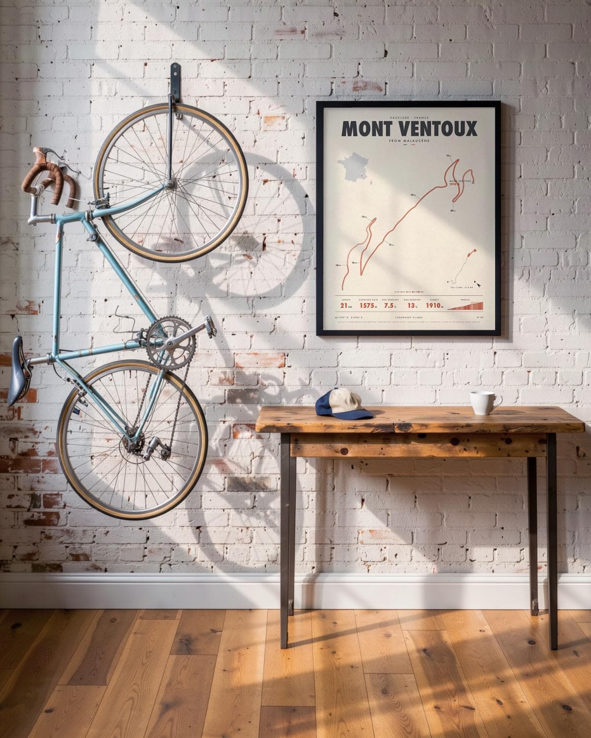
Loft 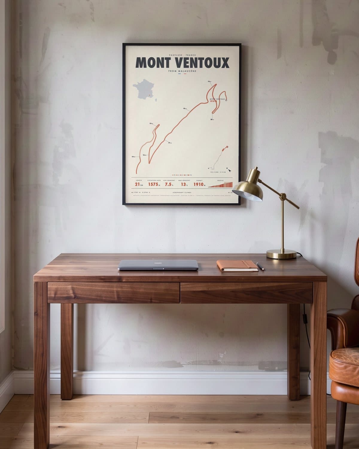
Home office 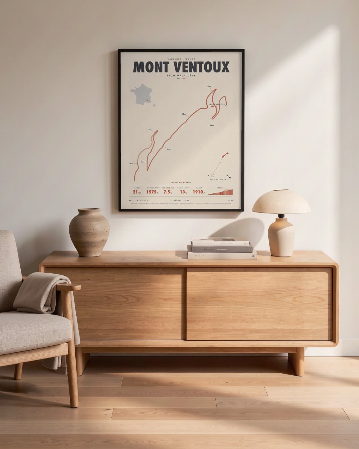
Living room
- Length
- 21KM
- Elevation gain
- 1575M
- Avg gradient
- 7.5%
- Max gradient
- 13%
- Summit
- 1910M
Elevation profile
The story
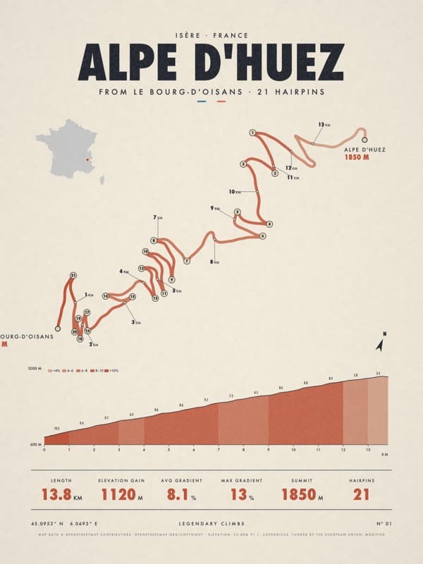
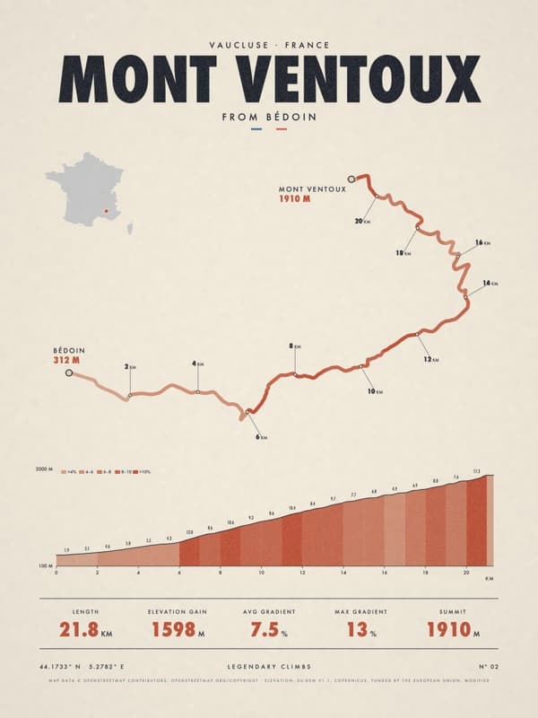
Bédoin gets the fame, but Malaucène is no soft option. You leave the village past the Groseau spring, then have around 21 kilometres to the same summit. In the middle this side is steeper and more irregular than the classic route, with ramps that break your rhythm, though it is better sheltered from the mistral. The road was built in 1931–32 to serve the Mont Serein ski station, which you pass before the final bare kilometres. When the biggest race in cycling first climbed the Ventoux, in 1951, it came this way. A fine partner for the Bédoin print, or a statement on its own.
Print details
Paper and print
Printed to order by our print partner on Enhanced Matte Art paper (200 gsm). Framed prints come in a slim classic frame, black or natural, with acrylic glazing and no mount.
Delivery
We deliver across the EU. Delivery in the Netherlands usually takes 5–10 working days after your order, elsewhere in the EU a few days longer; personalised prints go into production only after you approve the proof.
Returns
Standard prints: 14 days to change your mind after delivery. Personalised prints are made to your details and cannot be returned, but you approve the exact proof first. Damaged or faulty prints are always replaced.
Sources. Map data © OpenStreetMap contributors, openstreetmap.org/copyright · elevation: EU-DEM v1.1, Copernicus, funded by the European Union; modified.