Nº 03 · Lay of the Land
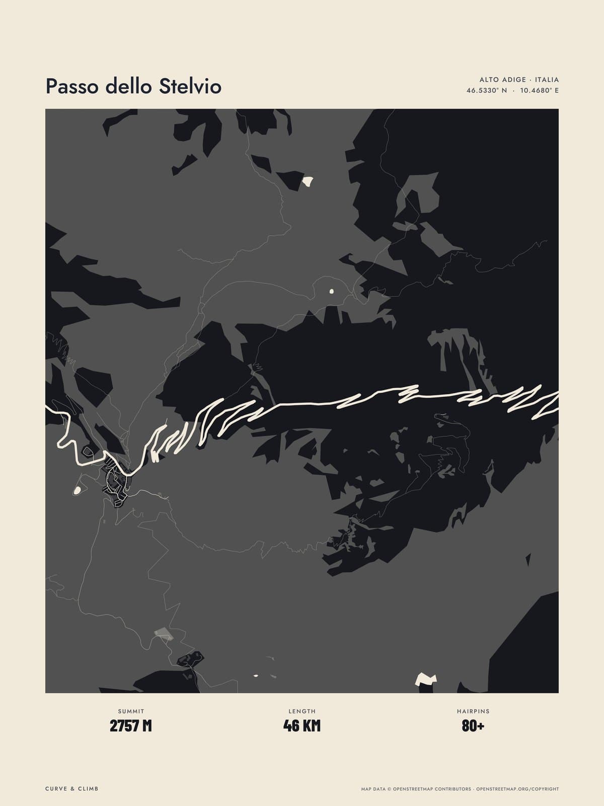
PASSO DELLO STELVIO
South Tyrol, Italy
ATLAS BLACK
Buy any three Lay of the Land maps together and take 10% off each.
Shipping from €4.95; you choose the country in your bag.
€39
Printed from the catalogue artwork shown here, so there is no proof step.
On the wall
Shown: 45 × 60 cm, black frame. Room scenes are illustrations.
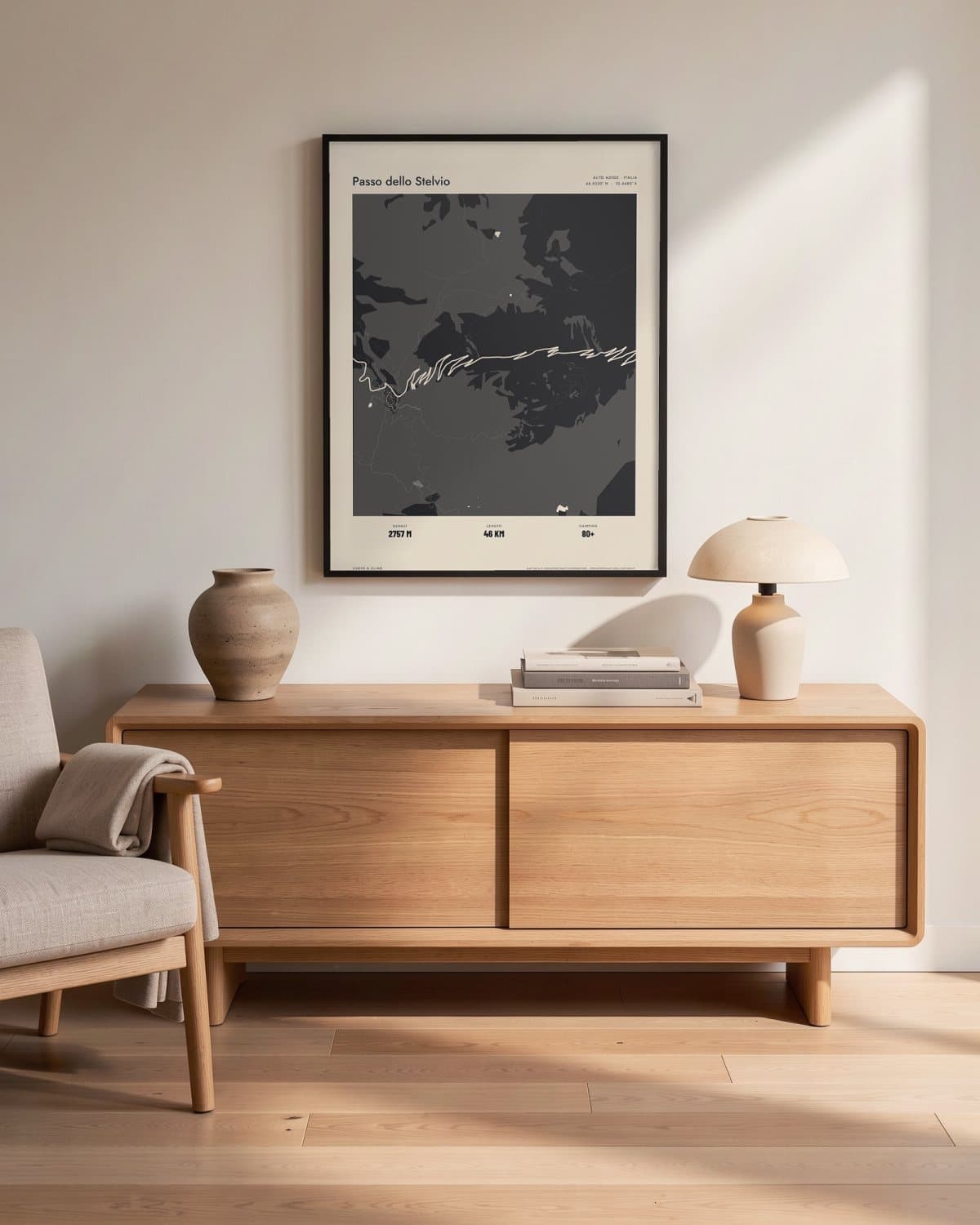
Living room 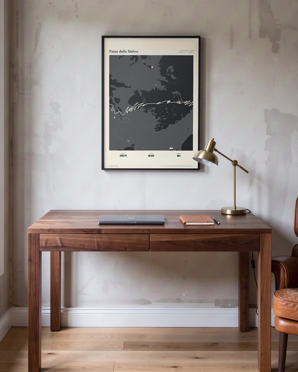
Home office 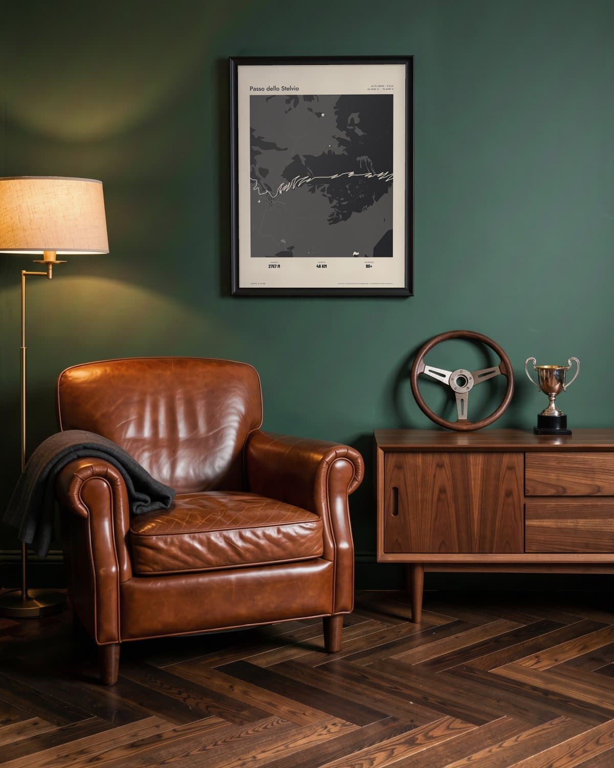
Green den 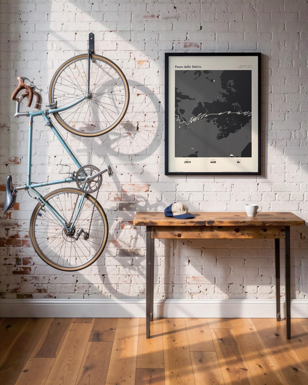
Loft
- Summit
- 2757M
- Length
- 46KM
- Hairpins
- 80+
The route in this map
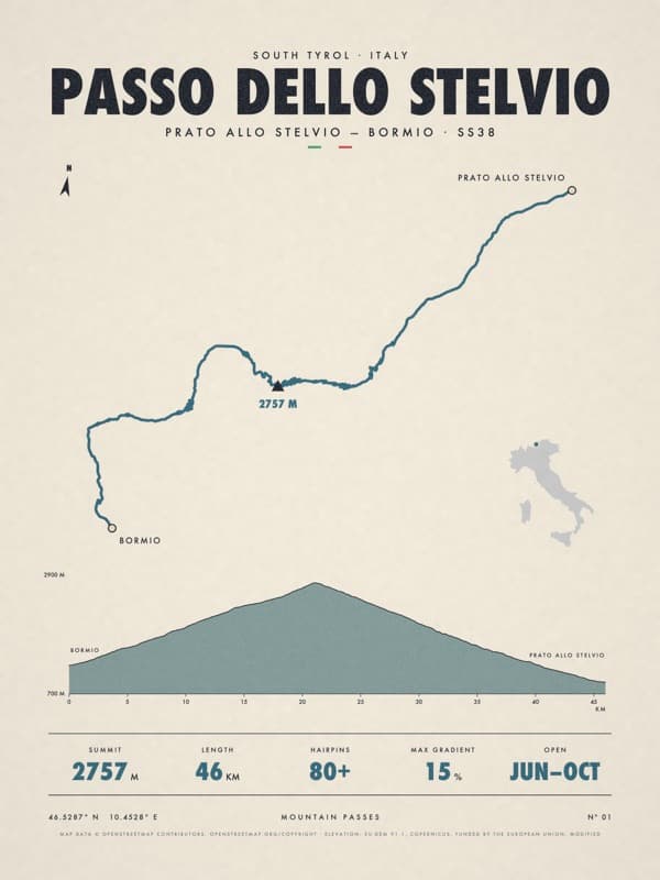
The facts under the map are those of Passo dello Stelvio. The route is also sold as its own poster.
See the Passo dello Stelvio posterThe story
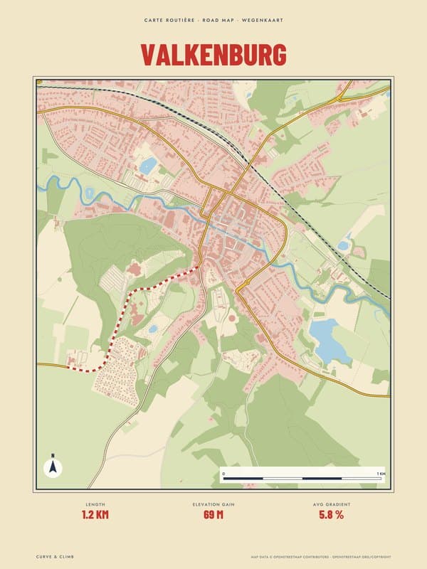
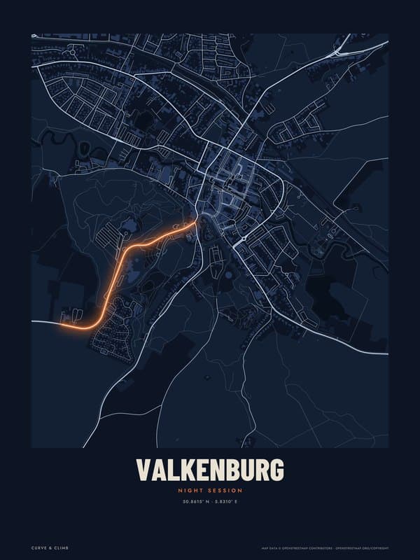
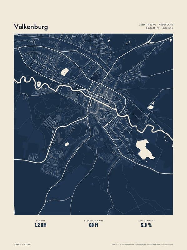
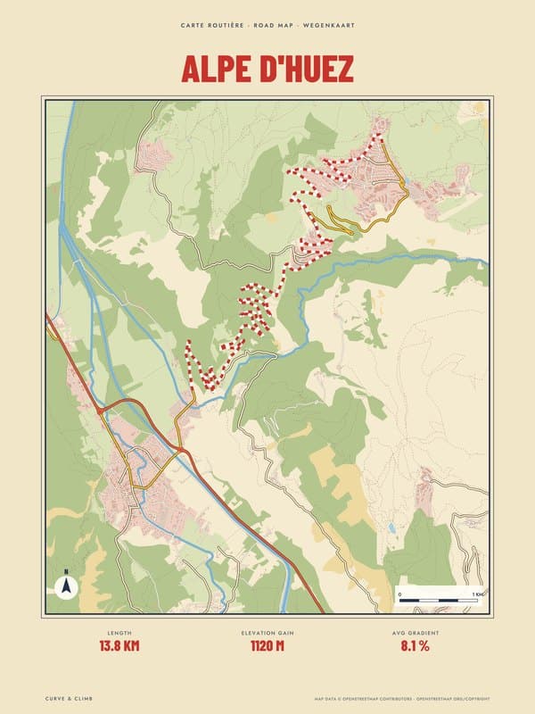
Lay of the Land: the whole of Passo dello Stelvio in one drawing, streets, water, woods and hills included, with the route drawn into the map. Atlas prints the whole map tone on tone in black, with the streets and the route in paper white. Some roads cross a mountain; the Stelvio seems stitched into it. From Prato allo Stelvio the climb winds up past Trafoi through 48 numbered hairpins, and near the top they stack so tightly that you look straight down onto the bends you have just driven. The glaciers of the Ortler keep you company for much of the way. At 2,757 metres this is the highest paved pass in the Eastern Alps, beaten in the whole range only by the Col de l'Iseran, and the road was built between 1820 and 1826. A poster for anyone who has counted those bends, or still dreams of doing so.
Print details
Paper and print
Printed to order by our print partner on Enhanced Matte Art paper (200 gsm). Framed prints come in a slim classic frame, black or natural, with acrylic glazing and no mount.
Delivery
We deliver across the EU. Delivery in the Netherlands usually takes 5–10 working days after your order, elsewhere in the EU a few days longer; personalised prints go into production only after you approve the proof.
Returns
Standard prints: 14 days to change your mind after delivery. Personalised prints are made to your details and cannot be returned, but you approve the exact proof first. Damaged or faulty prints are always replaced.
Sources. Map data © OpenStreetMap contributors (openstreetmap.org/copyright). Drawn with our own renderer; facts from our catalogue entry for the route.