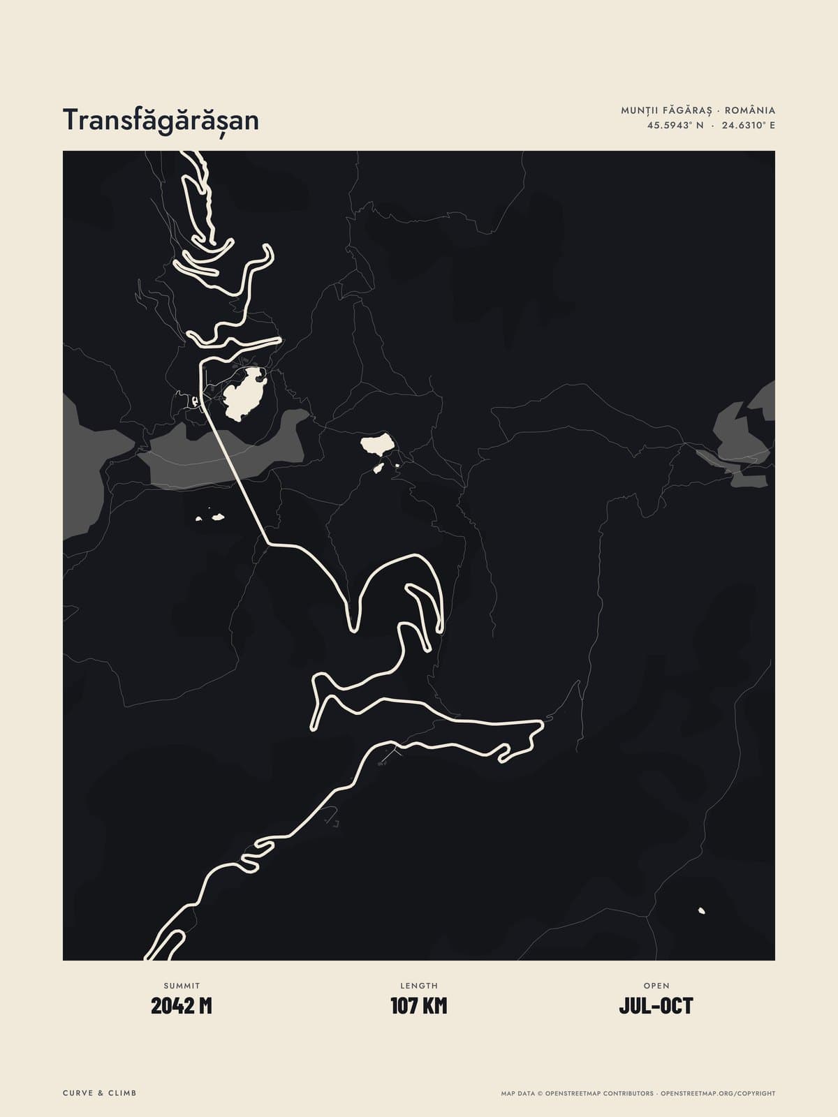
Nº 15 · Lay of the Land
TRANSFĂGĂRĂȘAN
Argeș, Romania
ATLAS BLACK
Buy any three Lay of the Land maps together and take 10% off each.
Shipping from €4.95; you choose the country in your bag.
€39
Printed from the catalogue artwork shown here, so there is no proof step.
On the wall
Shown: 45 × 60 cm, black frame. Room scenes are illustrations.
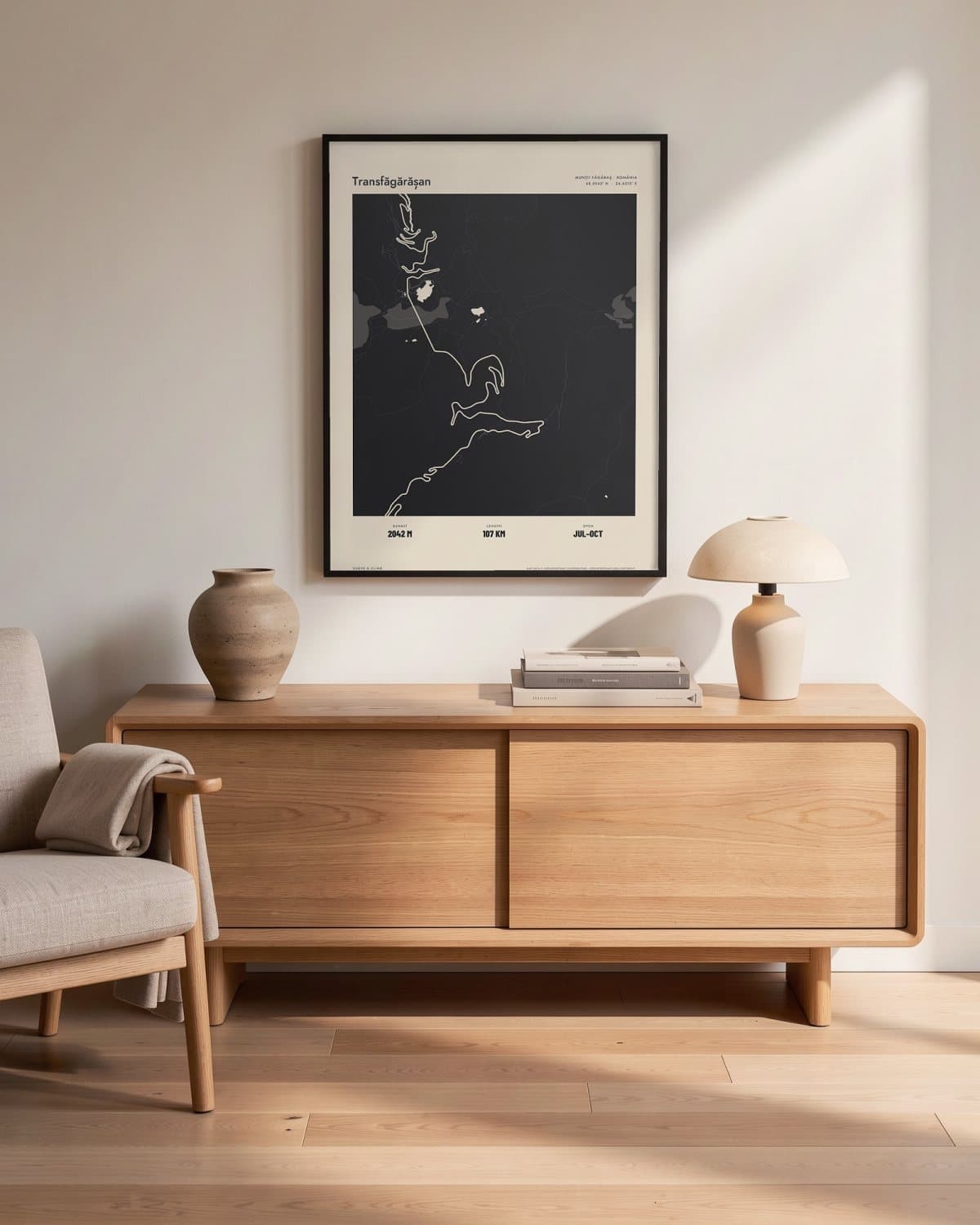
Living room 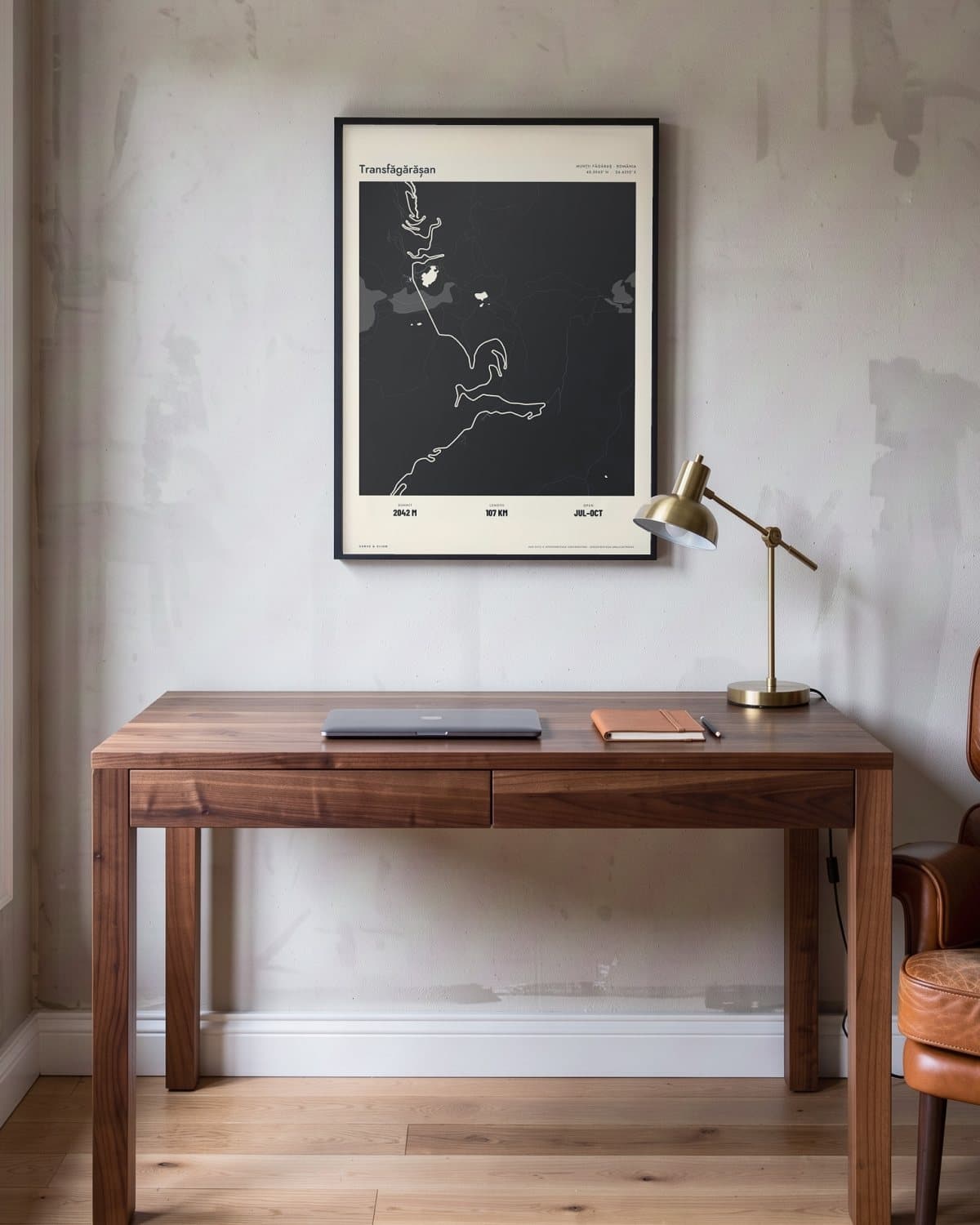
Home office 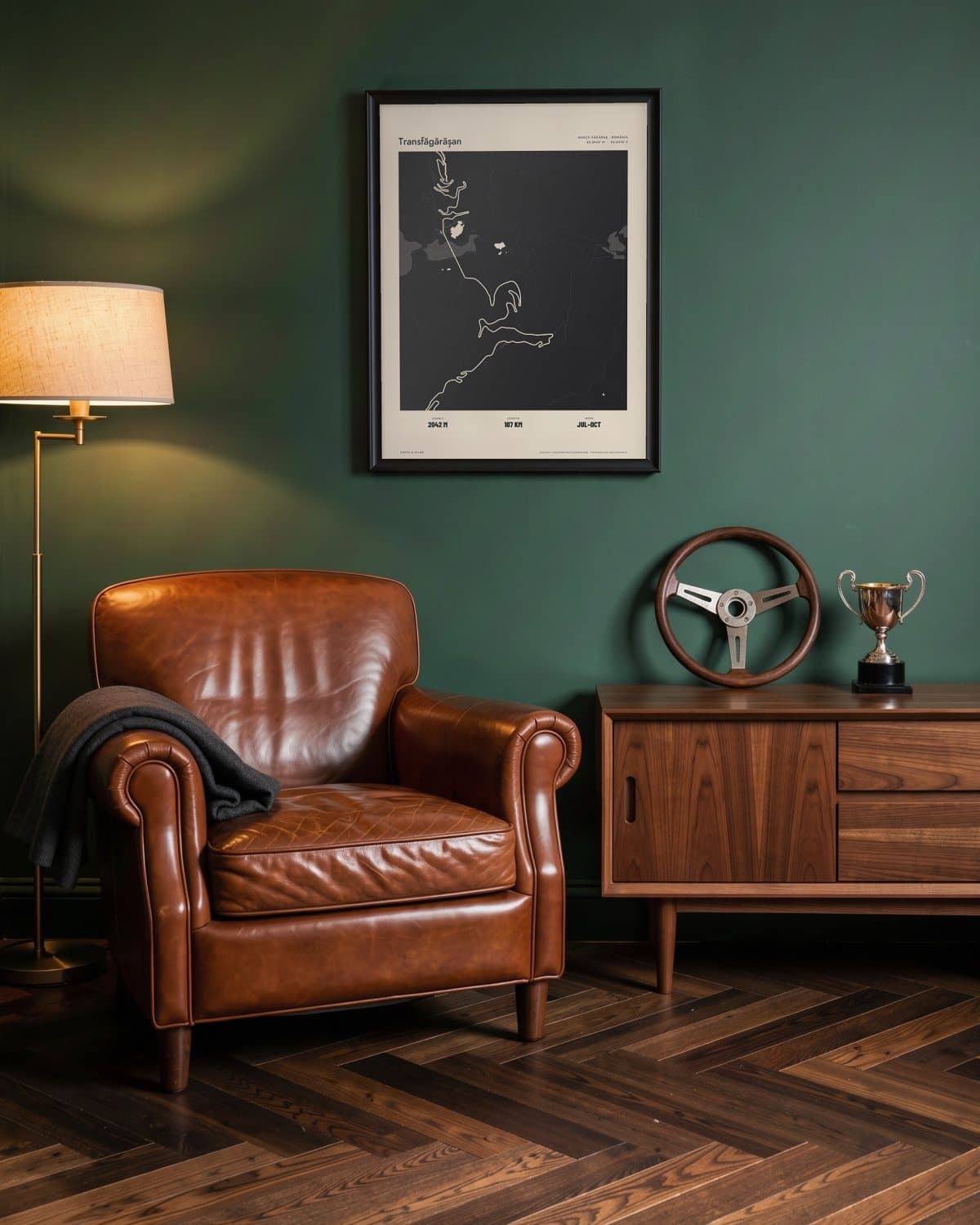
Green den 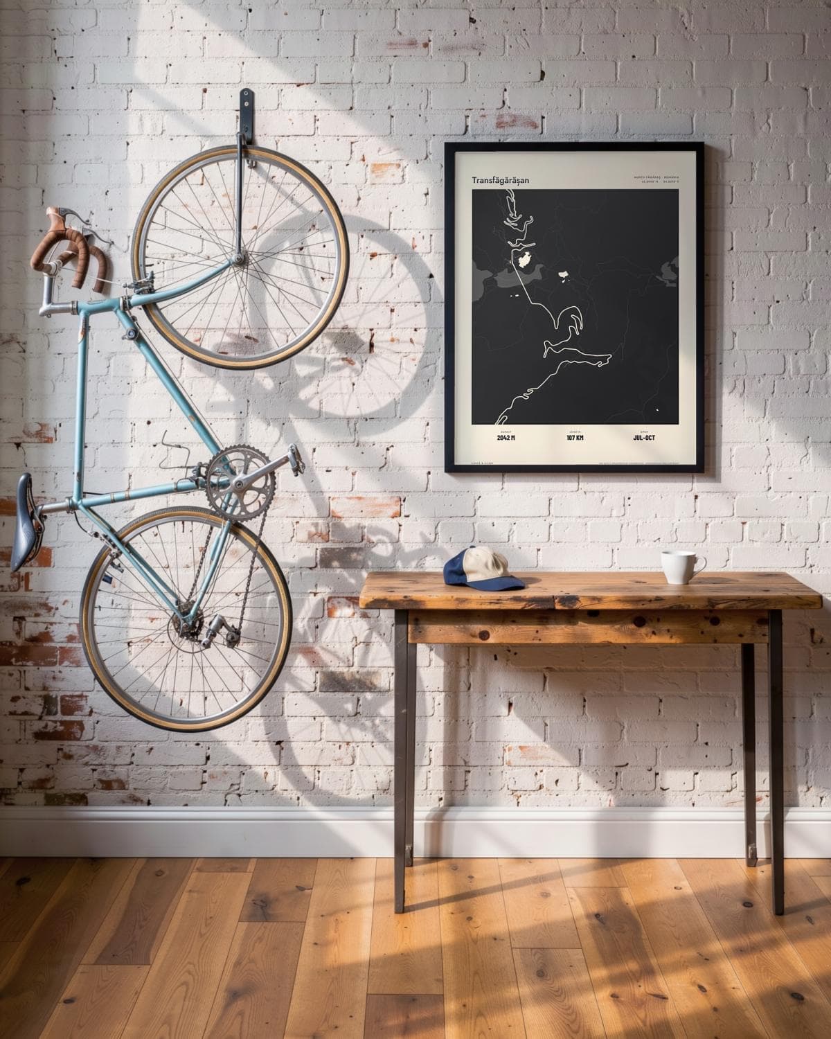
Loft
- Summit
- 2042M
- Length
- 107KM
- Open
- JUL–OCT
The route in this map
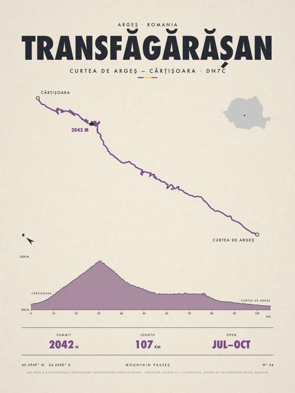
The facts under the map are those of Transfăgărășan. The route is also sold as its own poster.
See the Transfăgărășan posterThe story
Lay of the Land: the whole of Transfăgărășan in one drawing, streets, water, woods and hills included, with the route drawn into the map. Atlas prints the whole map tone on tone in black, with the streets and the route in paper white. Carved through the Făgăraș Mountains between 1970 and 1974 as a strategic military road, the Transfăgărășan still feels audacious. From Curtea de Argeș you cross the great Vidraru dam and follow the lake deep into the mountains. Then the road climbs above the treeline to over 2,000 metres, where a tunnel bores under the main ridge right beside the glacial Lake Bâlea. On the northern side it tumbles down a cascade of hairpins towards Cârțișoara, the whole switchback staircase laid out below you. For anyone who knows Romania at its wildest, or is longing to.
Print details
Paper and print
Printed to order by our print partner on Enhanced Matte Art paper (200 gsm). Framed prints come in a slim classic frame, black or natural, with acrylic glazing and no mount.
Delivery
We deliver across the EU. Delivery in the Netherlands usually takes 5–10 working days after your order, elsewhere in the EU a few days longer; personalised prints go into production only after you approve the proof.
Returns
Standard prints: 14 days to change your mind after delivery. Personalised prints are made to your details and cannot be returned, but you approve the exact proof first. Damaged or faulty prints are always replaced.
Sources. Map data © OpenStreetMap contributors (openstreetmap.org/copyright). Drawn with our own renderer; facts from our catalogue entry for the route.