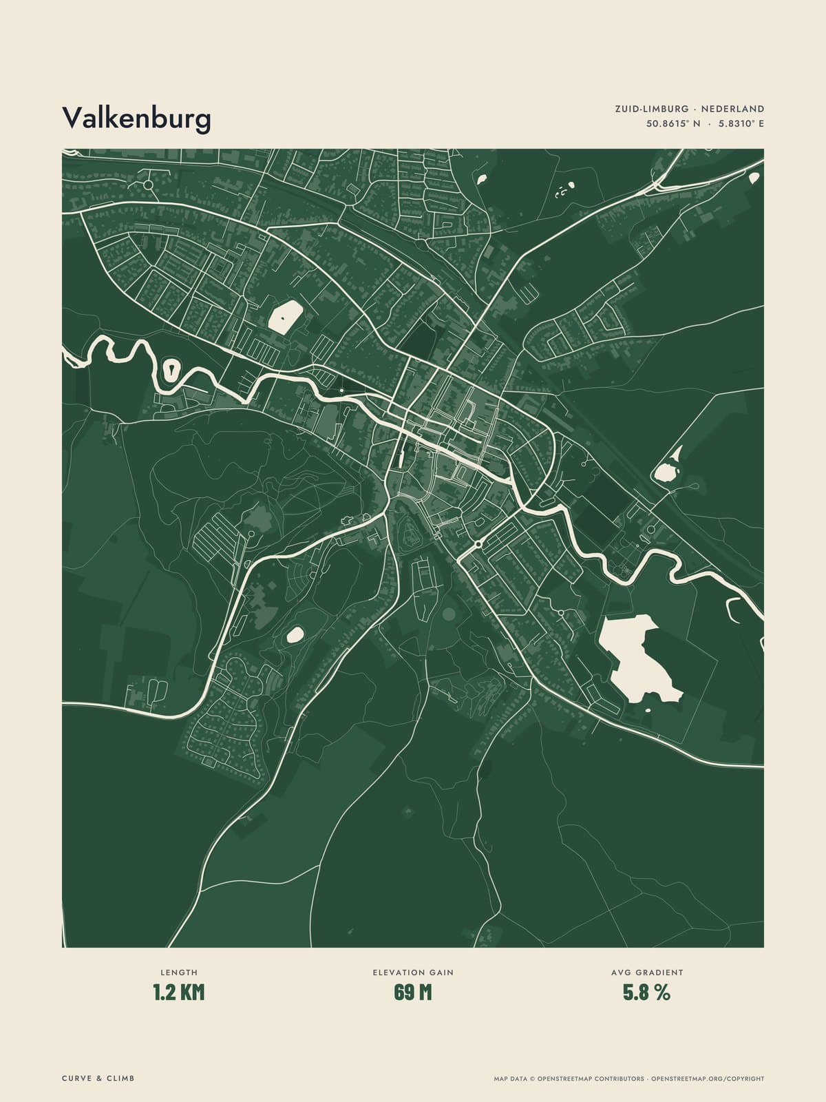
Nº 01 · Lay of the Land
VALKENBURG
Limburg, Netherlands
ATLAS FOREST
Buy any three Lay of the Land maps together and take 10% off each.
Shipping from €4.95; you choose the country in your bag.
€39
Printed from the catalogue artwork shown here, so there is no proof step.
On the wall
Shown: 45 × 60 cm, black frame. Room scenes are illustrations.
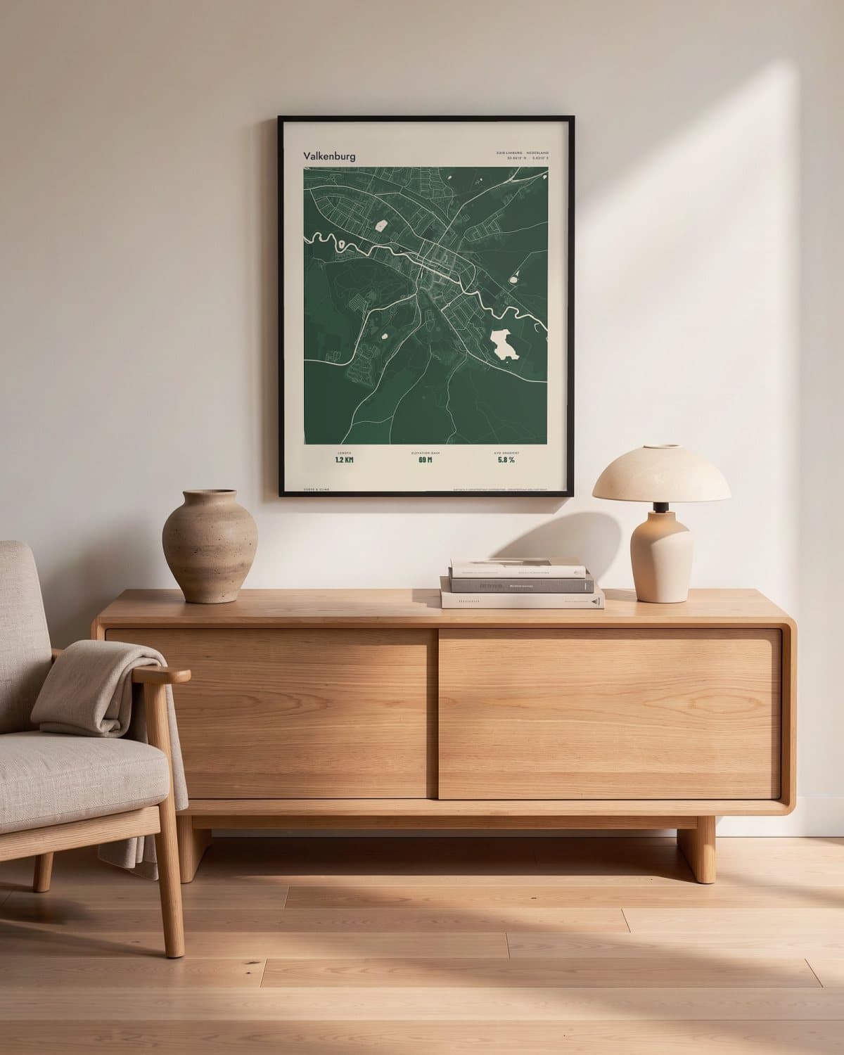
Living room 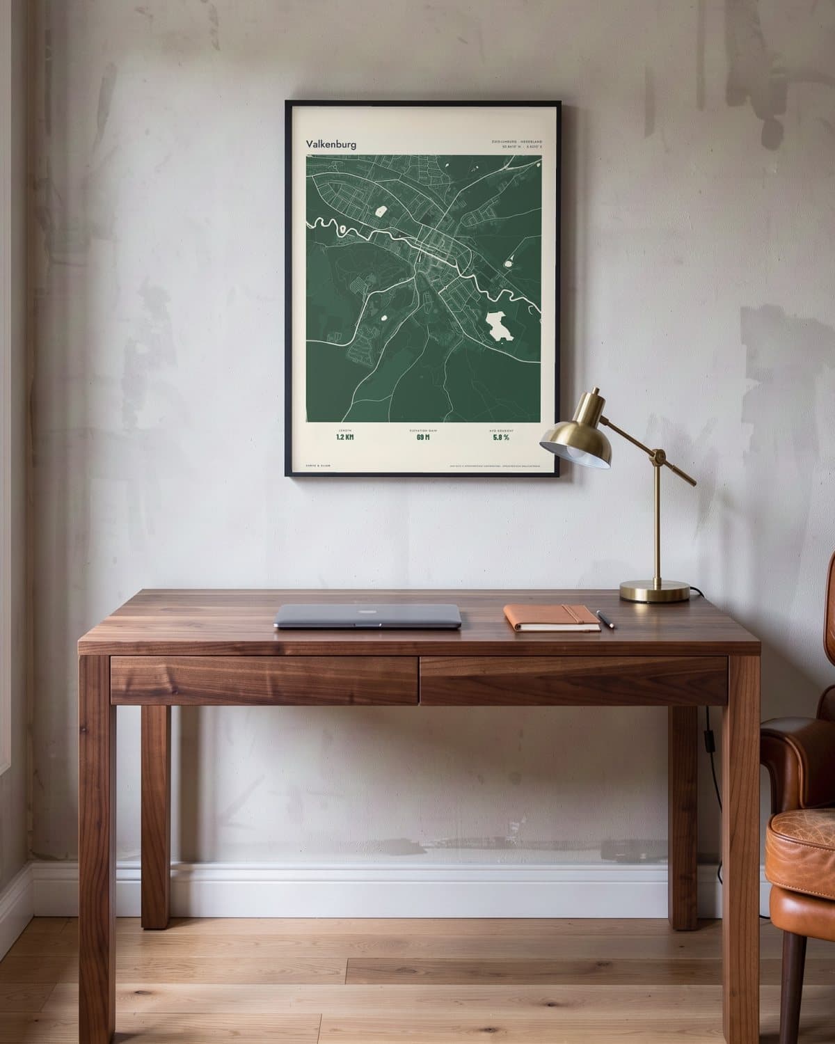
Home office 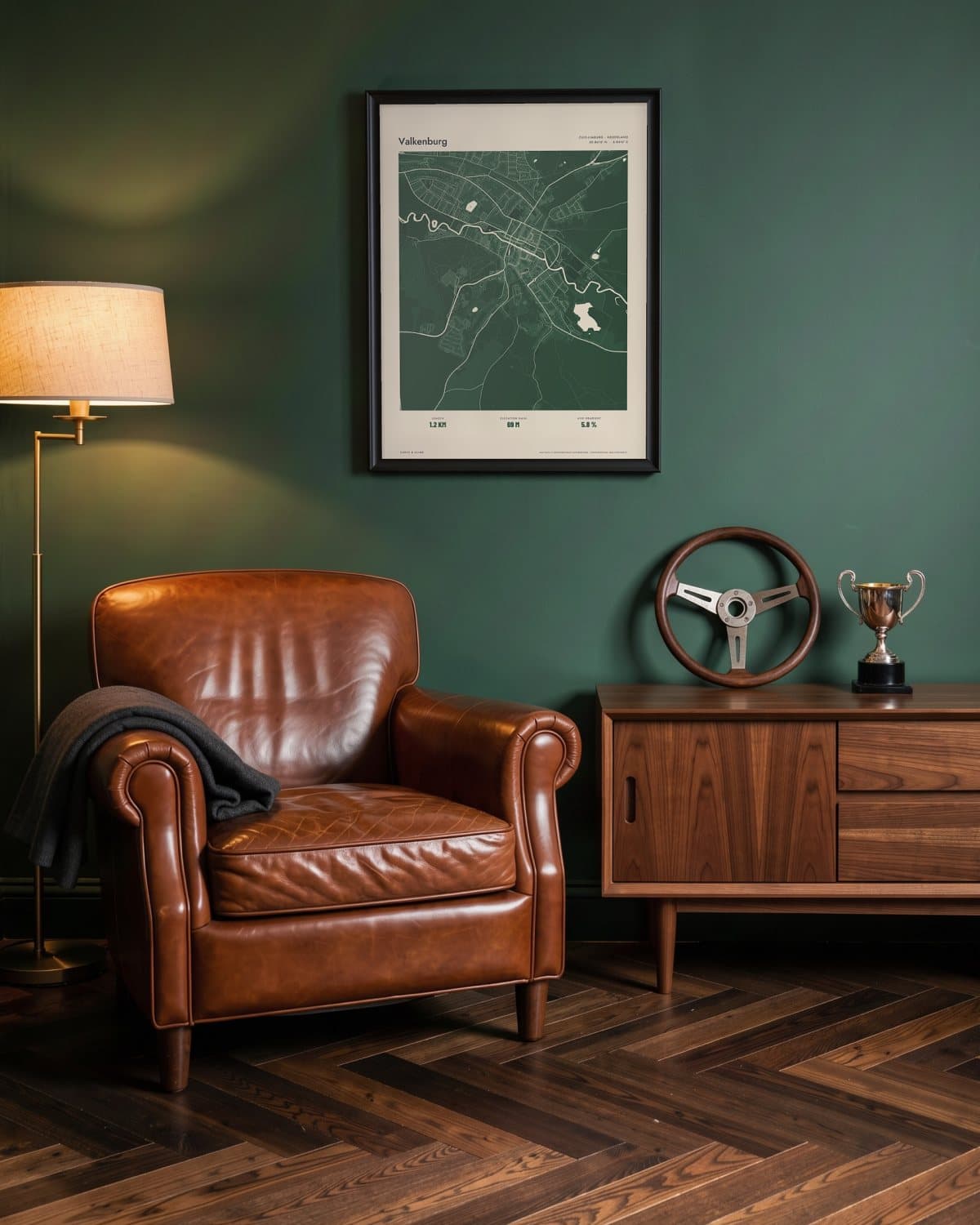
Green den 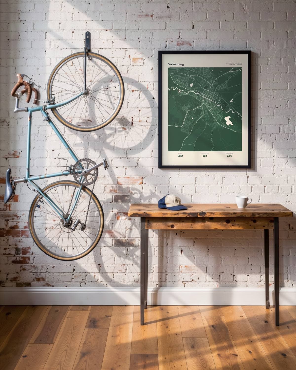
Loft
- Length
- 1.2KM
- Elevation gain
- 69M
- Avg gradient
- 5.8%
The route in this map
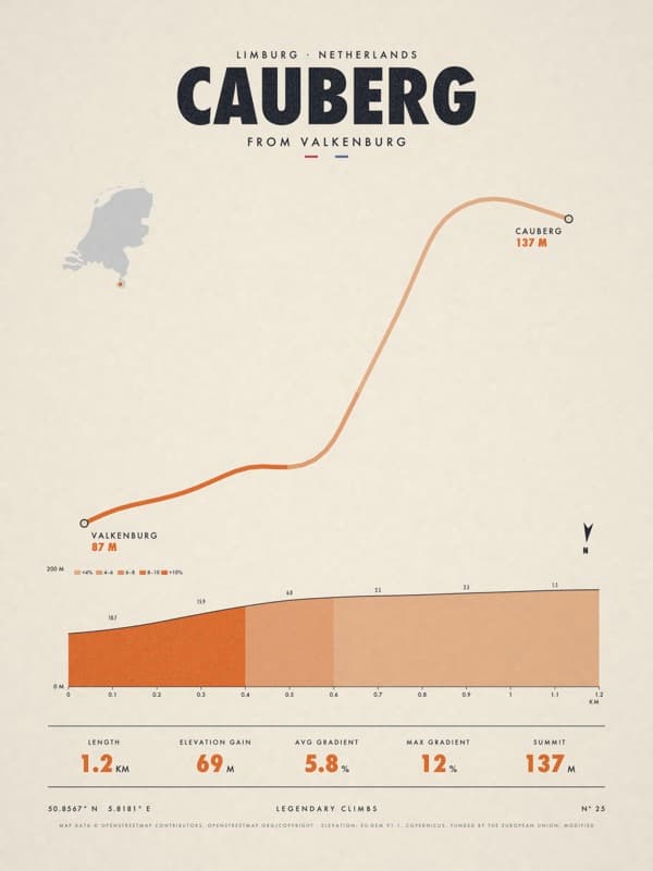
The facts under the map are those of Cauberg. The route is also sold as its own poster.
See the Cauberg posterThe story
Lay of the Land: the whole of Valkenburg in one drawing, streets, water, woods and hills included, with the route drawn into the map. Atlas prints the whole map tone on tone in forest, with the streets and the route in paper white. The Cauberg is the most famous hill in the Netherlands. You start at the Grendelpoort gate in the heart of Valkenburg, between café terraces and tourists, and soon the road rears up, with ramps of around twelve percent. It is short, but the top always seems further away than you hoped. Cobbled until 1969, it has been tarmac ever since. Valkenburg has hosted the road World Championships five times, and since 2012 steel tiles on the climb have honoured the world champions. From 2003 to 2012 the Limburg spring classic finished on the top. For anyone who has ever gasped their way up past the terraces.
Print details
Paper and print
Printed to order by our print partner on Enhanced Matte Art paper (200 gsm). Framed prints come in a slim classic frame, black or natural, with acrylic glazing and no mount.
Delivery
We deliver across the EU. Delivery in the Netherlands usually takes 5–10 working days after your order, elsewhere in the EU a few days longer; personalised prints go into production only after you approve the proof.
Returns
Standard prints: 14 days to change your mind after delivery. Personalised prints are made to your details and cannot be returned, but you approve the exact proof first. Damaged or faulty prints are always replaced.
Sources. Map data © OpenStreetMap contributors (openstreetmap.org/copyright). Drawn with our own renderer; facts from our catalogue entry for the route.