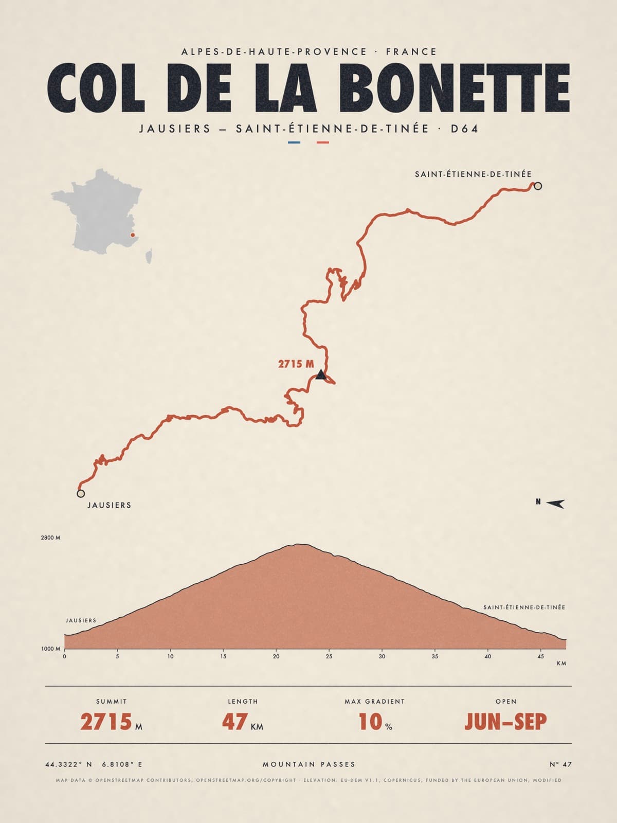
Nº 47 · Mountain pass
COL DE LA BONETTE
Alpes-De-Haute-Provence, France
JAUSIERS — SAINT-ÉTIENNE-DE-TINÉE · D64
Shipping from €4.95; you choose the country in your bag.
€39
Printed from the catalogue artwork shown here, so there is no proof step.
On the wall
Shown: 45 × 60 cm, black frame. Room scenes are illustrations.
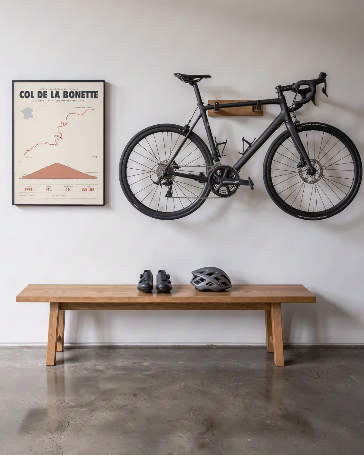
Hallway 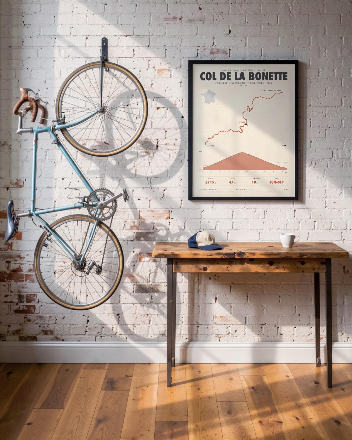
Loft 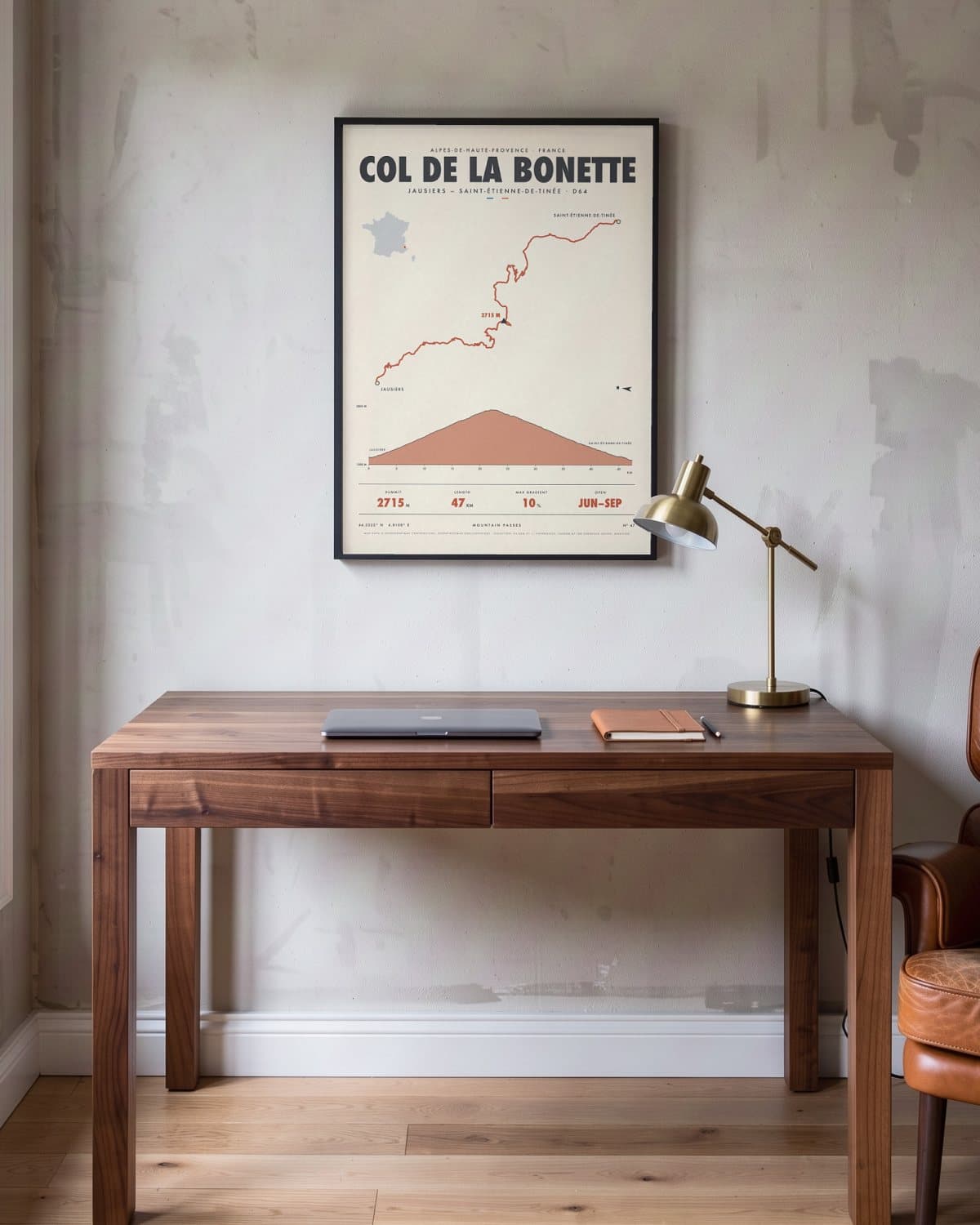
Home office 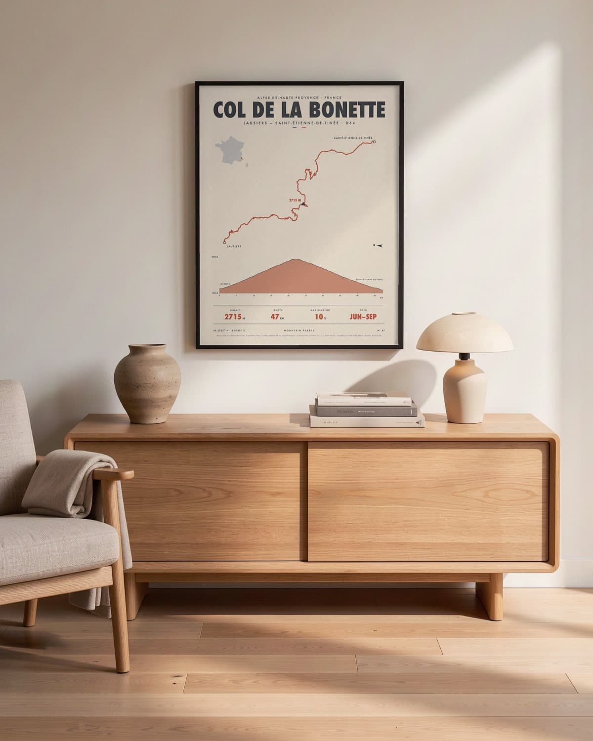
Living room
- Summit
- 2715M
- Length
- 47KM
- Max gradient
- 10%
- Open
- JUN–SEP
Elevation profile
The story
In France, no road takes you higher than the Bonette. From Jausiers in the Ubaye valley you climb into an ever barer, almost lunar landscape of scree and dark rock, up to the col at 2,715 metres. And it doesn't stop there: a narrow loop curls around the Cime de la Bonette and lifts you to 2,802 metres, the highest asphalted road in the country. Even the big cycling races have tackled this loop. On the south side you descend through the Mercantour National Park to Saint-Étienne-de-Tinée. A map for anyone who always wants to go just a little higher.
Print details
Paper and print
Printed to order by our print partner on Enhanced Matte Art paper (200 gsm). Framed prints come in a slim classic frame, black or natural, with acrylic glazing and no mount.
Delivery
We deliver across the EU. Delivery in the Netherlands usually takes 5–10 working days after your order, elsewhere in the EU a few days longer; personalised prints go into production only after you approve the proof.
Returns
Standard prints: 14 days to change your mind after delivery. Personalised prints are made to your details and cannot be returned, but you approve the exact proof first. Damaged or faulty prints are always replaced.
Sources. Map data © OpenStreetMap contributors, openstreetmap.org/copyright · elevation: EU-DEM v1.1, Copernicus, funded by the European Union; modified.