Nº 45 · Mountain pass
COL DE L'ISERAN
Savoie, France
BOURG-SAINT-MAURICE — LANSLEBOURG-MONT-CENIS · D902
Shipping from €4.95; you choose the country in your bag.
€39
Printed from the catalogue artwork shown here, so there is no proof step.
On the wall
Shown: 45 × 60 cm, black frame. Room scenes are illustrations.
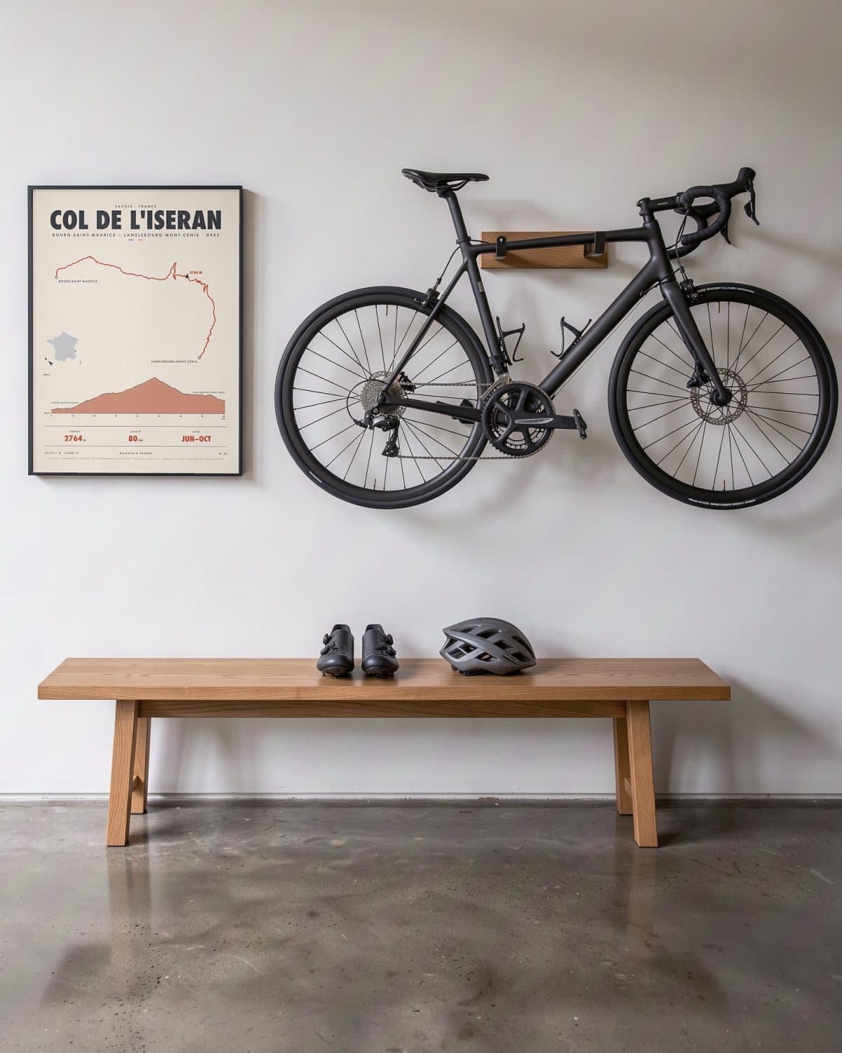
Hallway 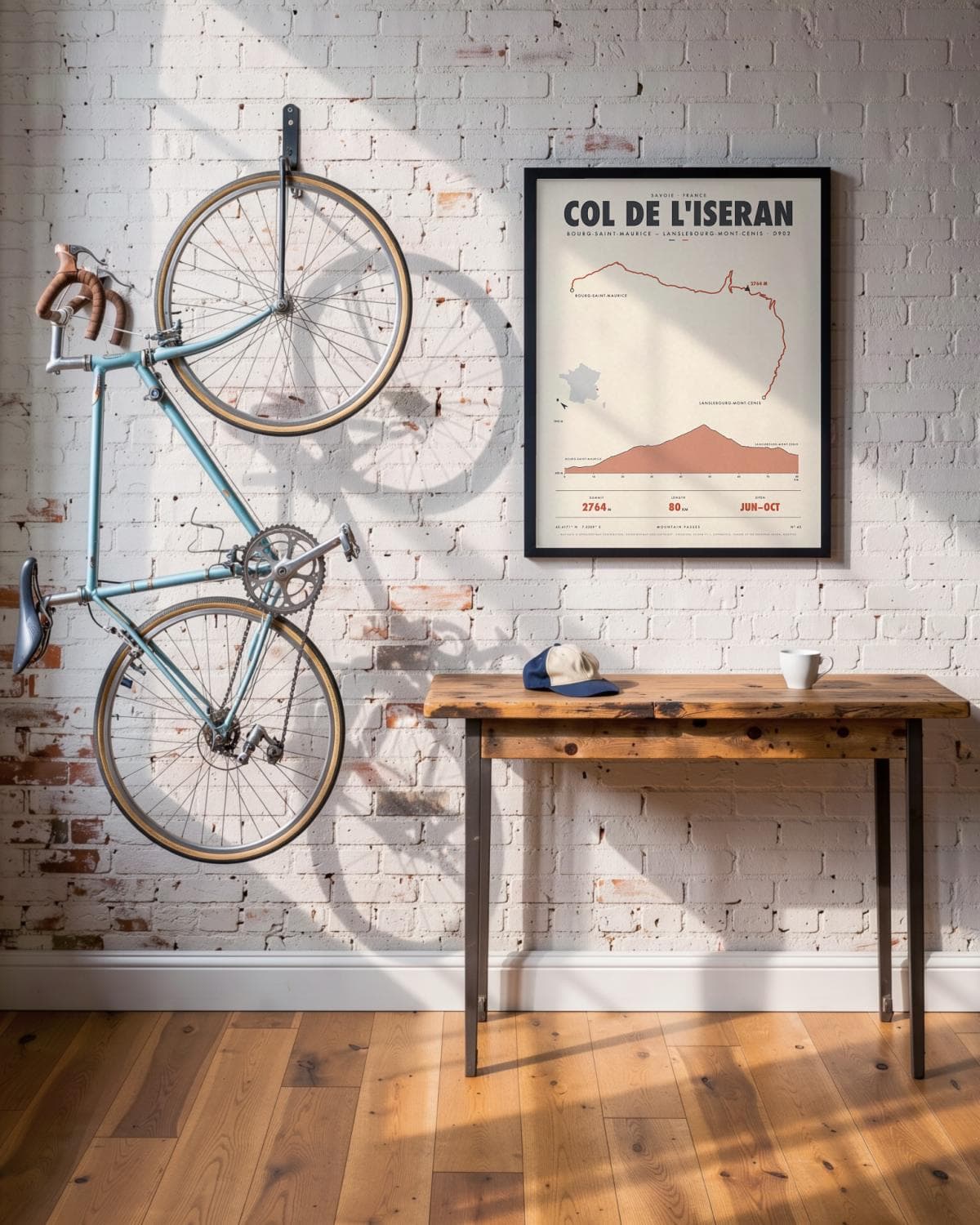
Loft 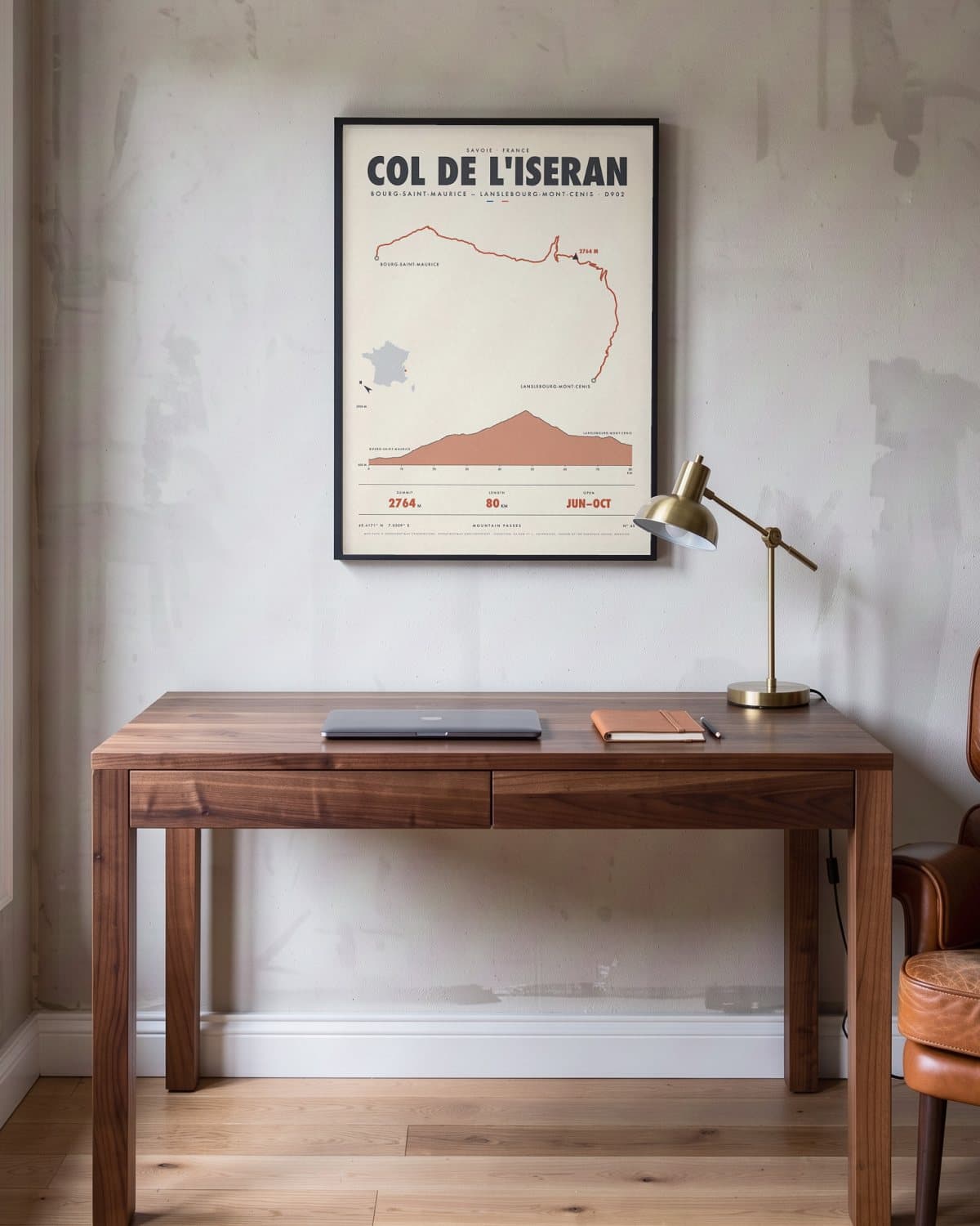
Home office 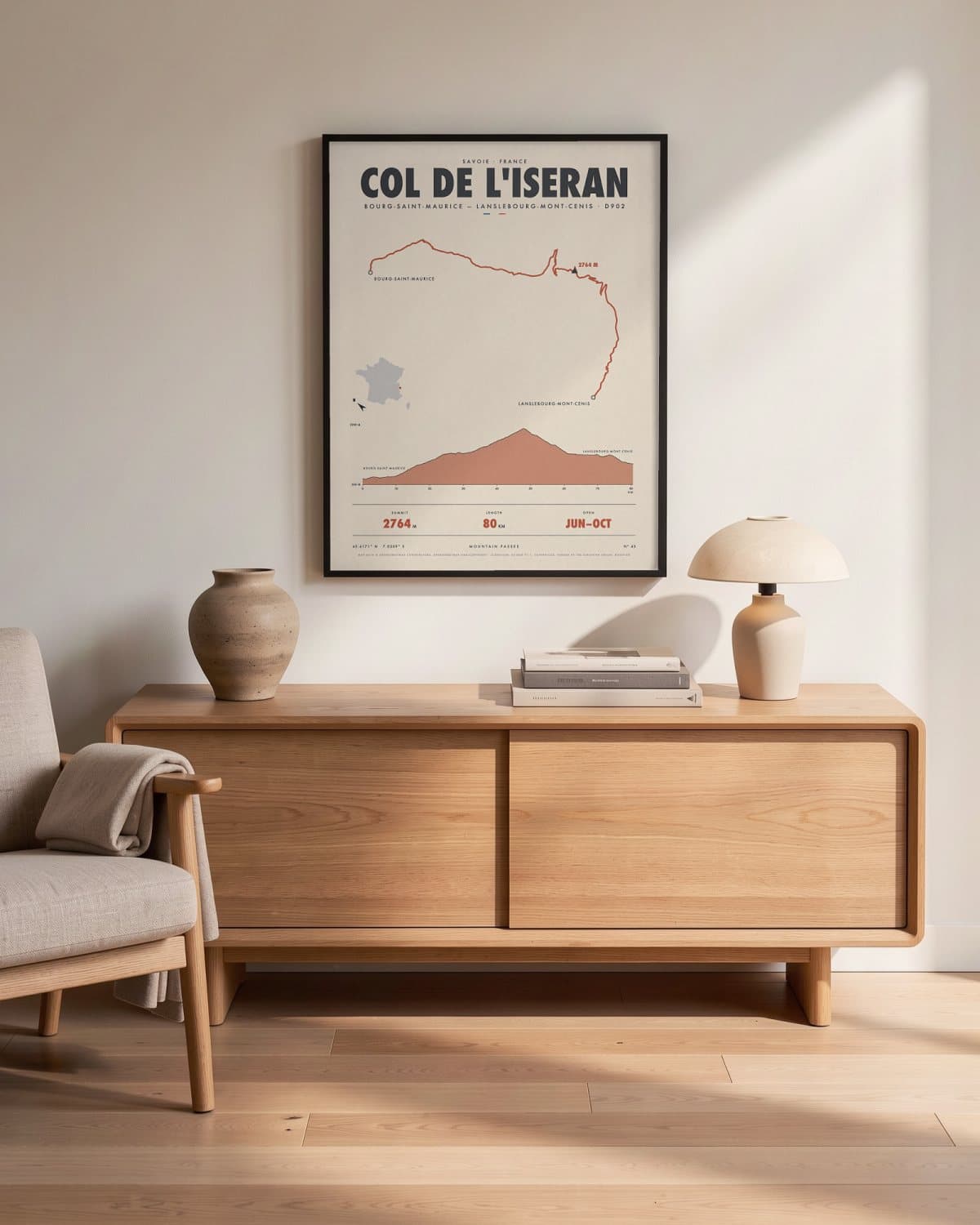
Living room
- Summit
- 2764M
- Length
- 80KM
- Open
- JUN–OCT
Elevation profile
The story
No paved through-pass in the Alps climbs higher than this. From Bourg-Saint-Maurice you head up the Tarentaise, past the Tignes dam and through Val-d'Isère, until the trees give way to rock, snowfields and sky. At over 2,700 metres you crest the col, surrounded by the peaks of the Vanoise National Park. The descent to Bonneval-sur-Arc and the Haute-Maurienne is long, open and breathtaking. Opened in 1937, the road is only passable in the summer months. A map for anyone who has ever felt the roof of the Alps beneath their wheels.
Print details
Paper and print
Printed to order by our print partner on Enhanced Matte Art paper (200 gsm). Framed prints come in a slim classic frame, black or natural, with acrylic glazing and no mount.
Delivery
We deliver across the EU. Delivery in the Netherlands usually takes 5–10 working days after your order, elsewhere in the EU a few days longer; personalised prints go into production only after you approve the proof.
Returns
Standard prints: 14 days to change your mind after delivery. Personalised prints are made to your details and cannot be returned, but you approve the exact proof first. Damaged or faulty prints are always replaced.
Sources. Map data © OpenStreetMap contributors, openstreetmap.org/copyright · elevation: EU-DEM v1.1, Copernicus, funded by the European Union; modified.