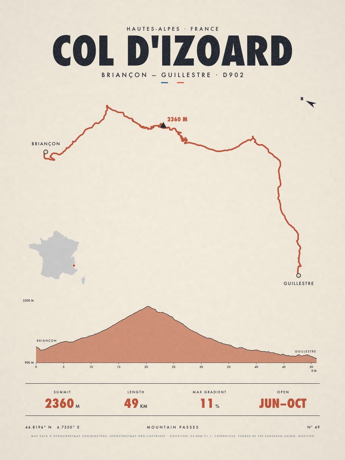
Nº 49 · Mountain pass
COL D'IZOARD
Hautes-Alpes, France
BRIANÇON — GUILLESTRE · D902
Shipping from €4.95; you choose the country in your bag.
€39
Printed from the catalogue artwork shown here, so there is no proof step.
On the wall
Shown: 45 × 60 cm, black frame. Room scenes are illustrations.
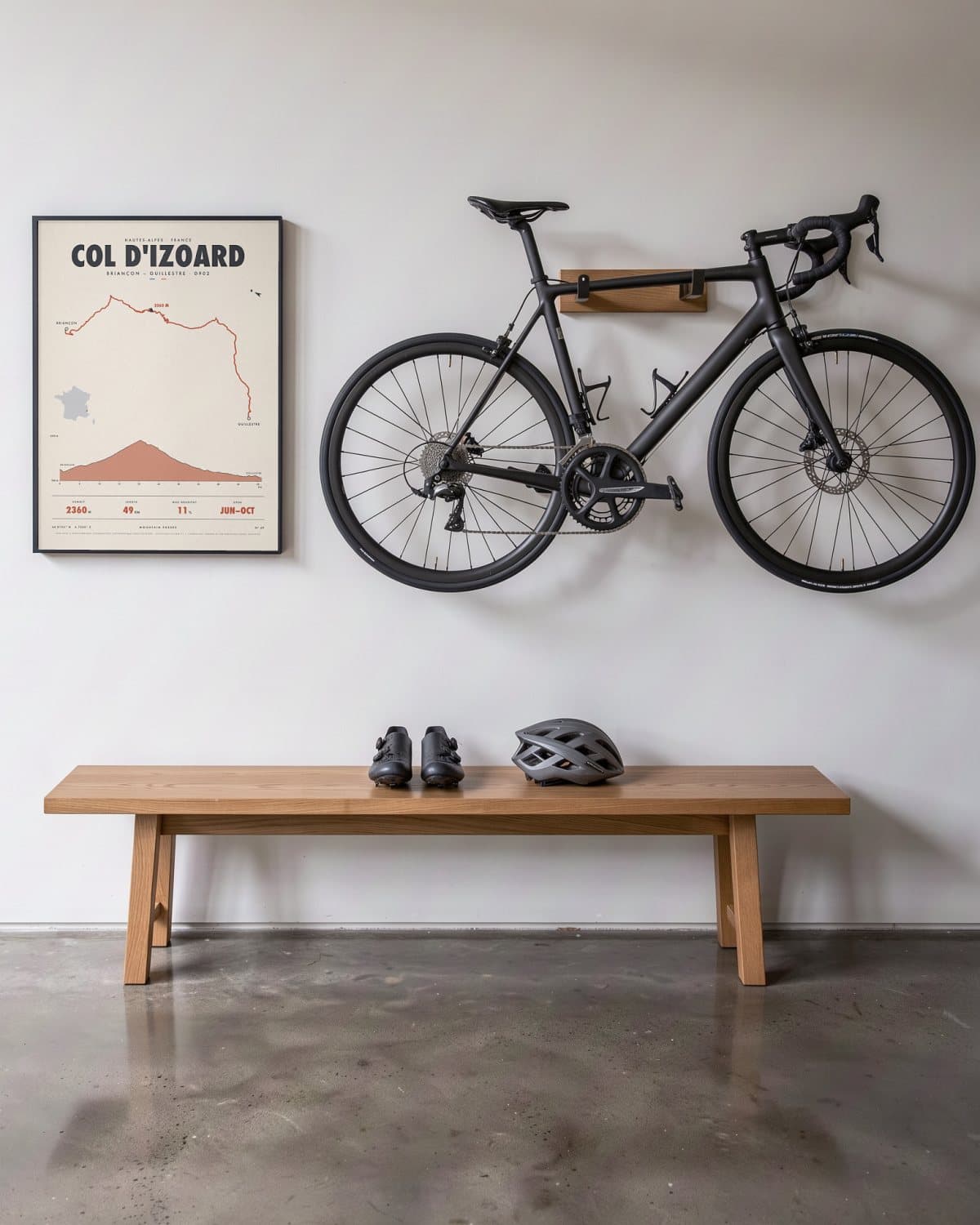
Hallway 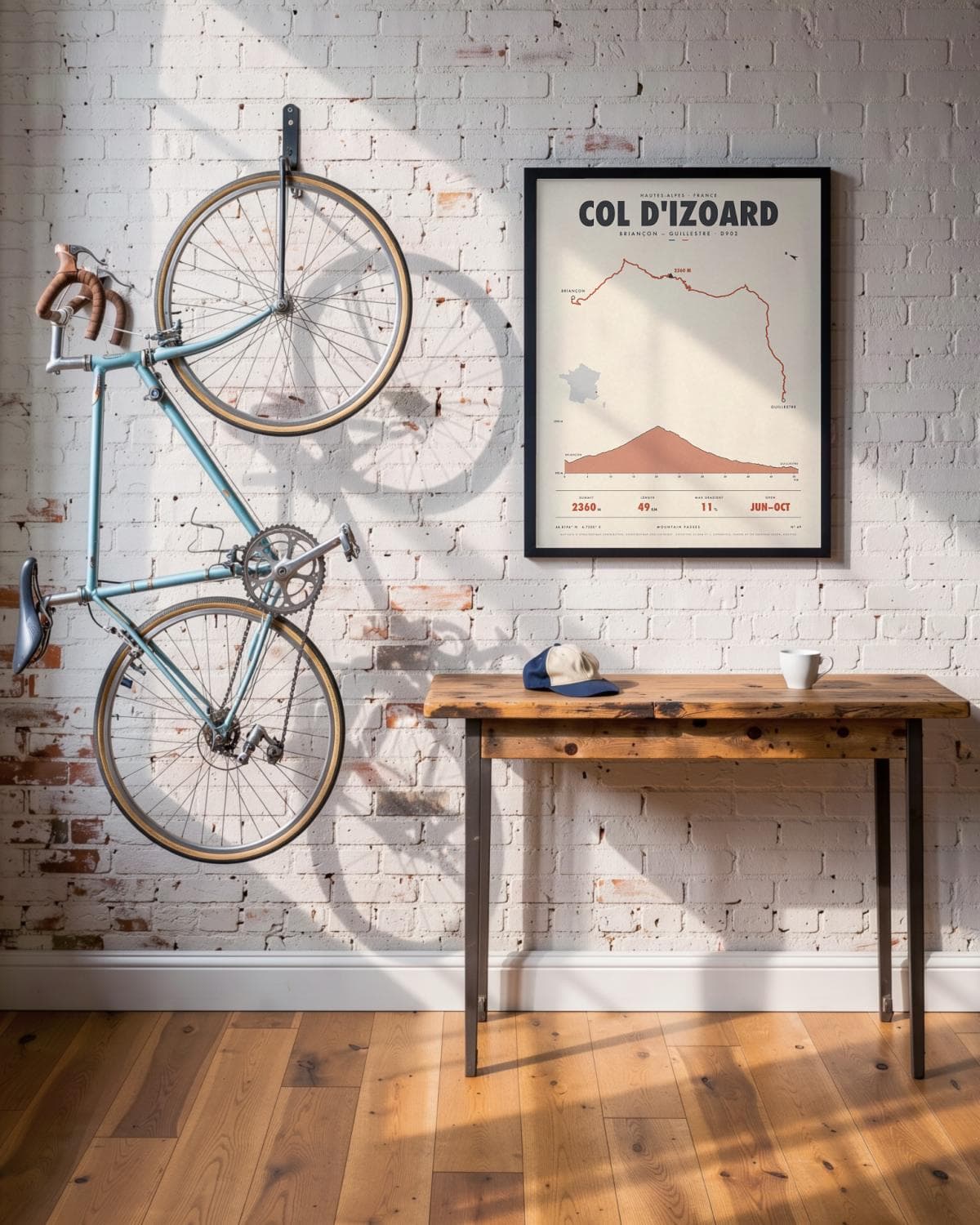
Loft 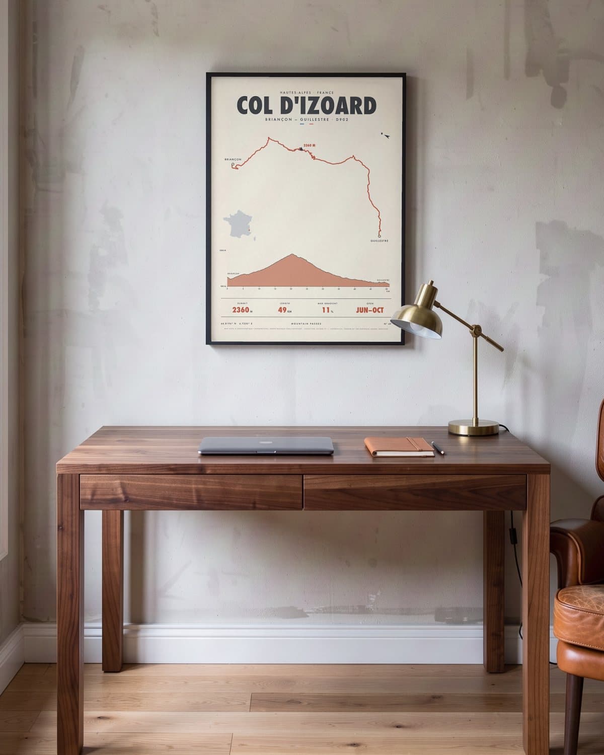
Home office 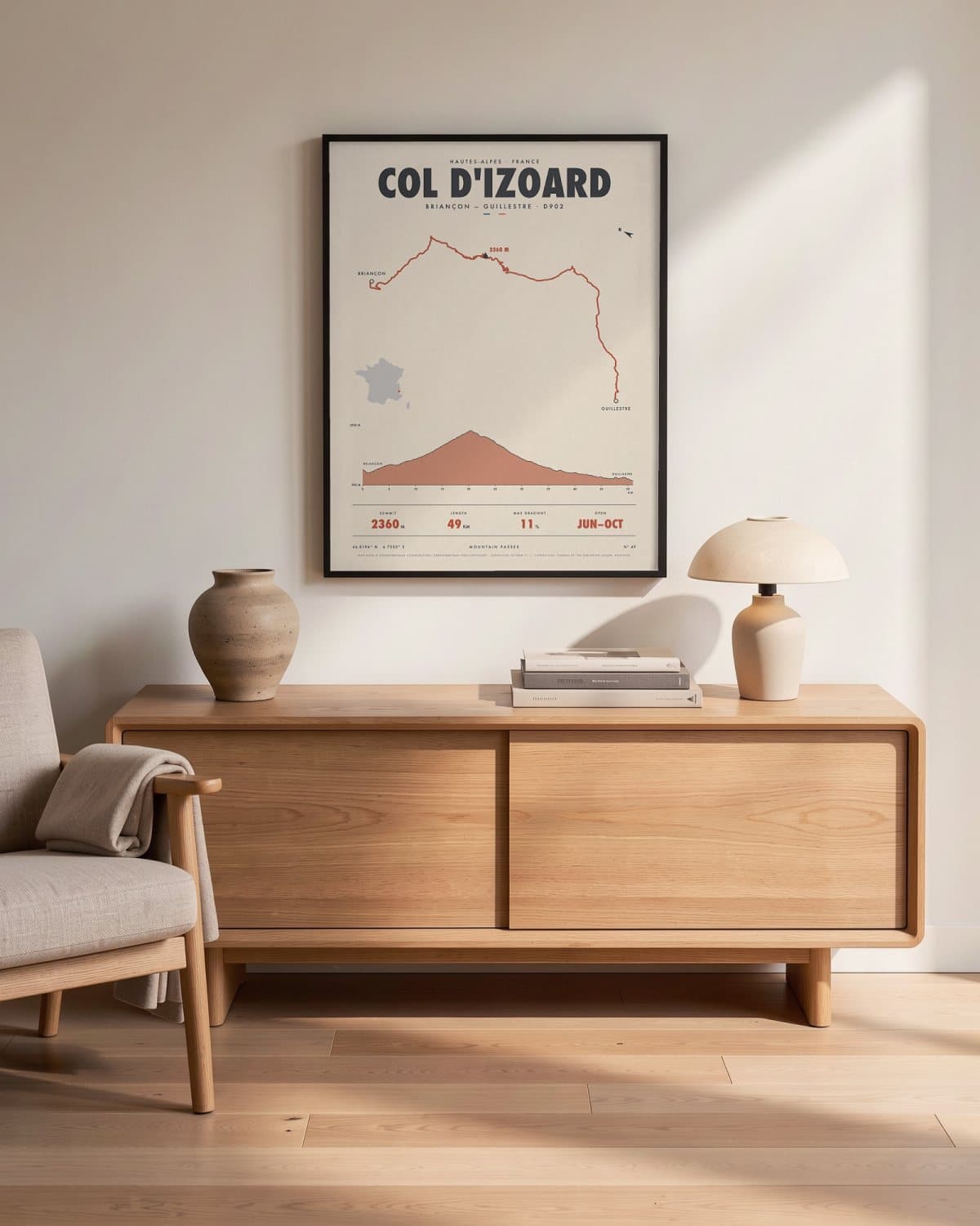
Living room
- Summit
- 2360M
- Length
- 49KM
- Max gradient
- 11%
- Open
- JUN–OCT
Elevation profile
The story
The Izoard starts out green. From Briançon you climb past Cervières through larch forest to the col at 2,360 metres, with the steepest ramps reaching 11 per cent. But the real show waits on the south side: the Casse Déserte, a wild landscape of ochre scree and jagged rock spires where hardly anything grows. Below it, the bends unwind towards Arvieux and the Queyras, all the way to Guillestre. Cyclists know this backdrop from the big cycling races, yet behind the wheel or on a motorbike it feels like another planet. A map for lovers of raw, rugged beauty.
Print details
Paper and print
Printed to order by our print partner on Enhanced Matte Art paper (200 gsm). Framed prints come in a slim classic frame, black or natural, with acrylic glazing and no mount.
Delivery
We deliver across the EU. Delivery in the Netherlands usually takes 5–10 working days after your order, elsewhere in the EU a few days longer; personalised prints go into production only after you approve the proof.
Returns
Standard prints: 14 days to change your mind after delivery. Personalised prints are made to your details and cannot be returned, but you approve the exact proof first. Damaged or faulty prints are always replaced.
Sources. Map data © OpenStreetMap contributors, openstreetmap.org/copyright · elevation: EU-DEM v1.1, Copernicus, funded by the European Union; modified.