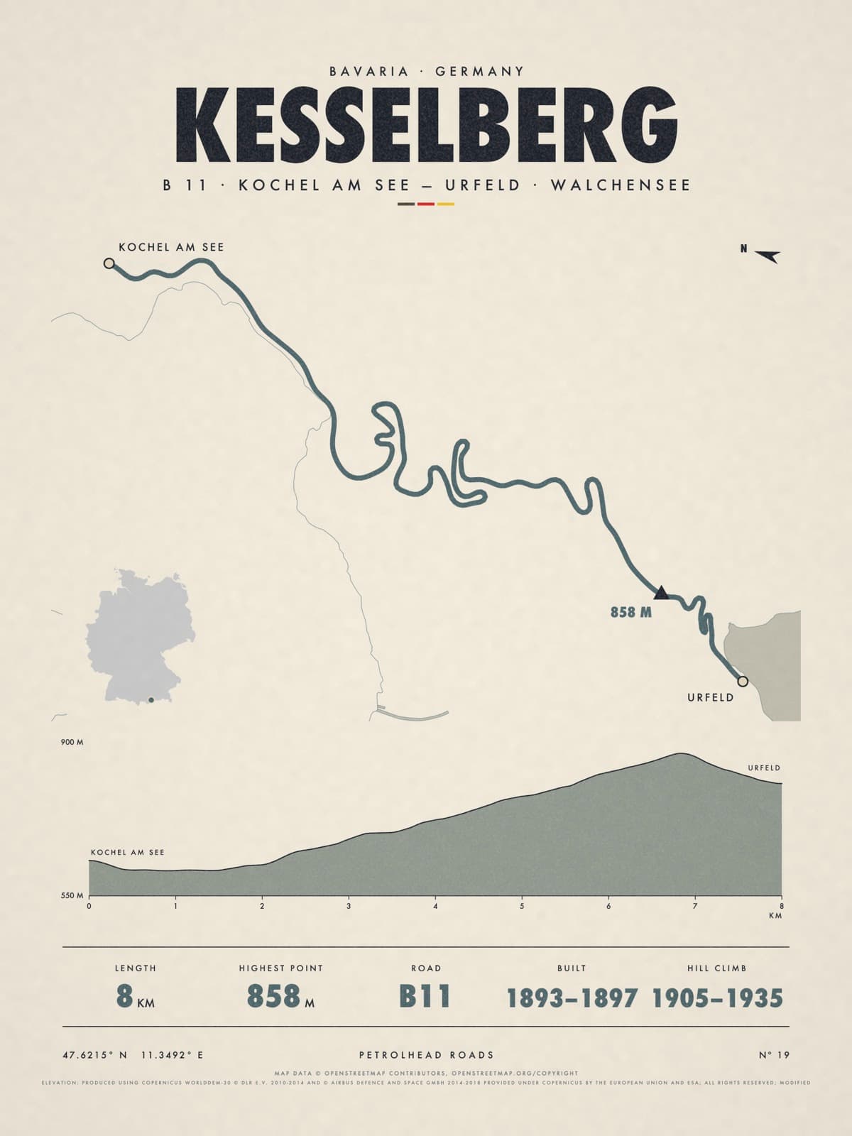
Nº 19 · Petrolhead road
KESSELBERG
Bavaria, Germany
B 11 · KOCHEL AM SEE — URFELD · WALCHENSEE
Shipping from €4.95; you choose the country in your bag.
€39
Printed from the catalogue artwork shown here, so there is no proof step.
On the wall
Shown: 45 × 60 cm, black frame. Room scenes are illustrations.
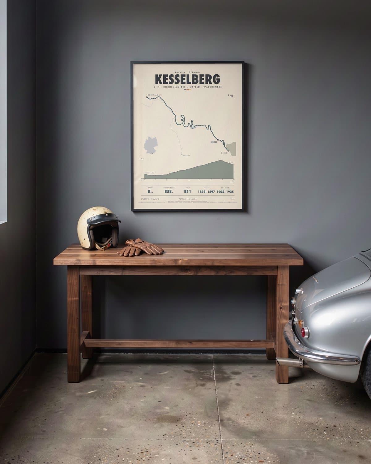
Home garage 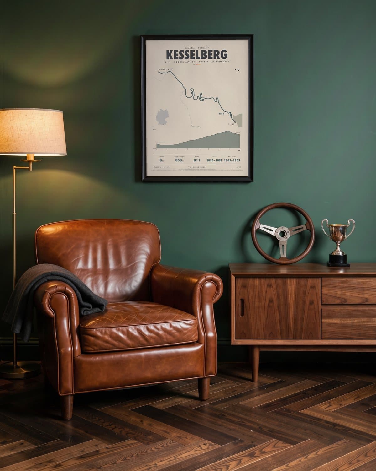
Green den 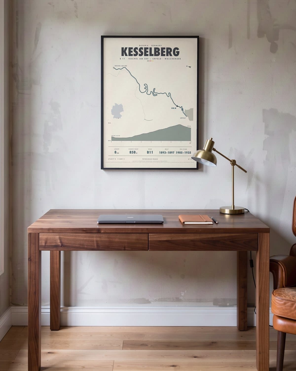
Home office 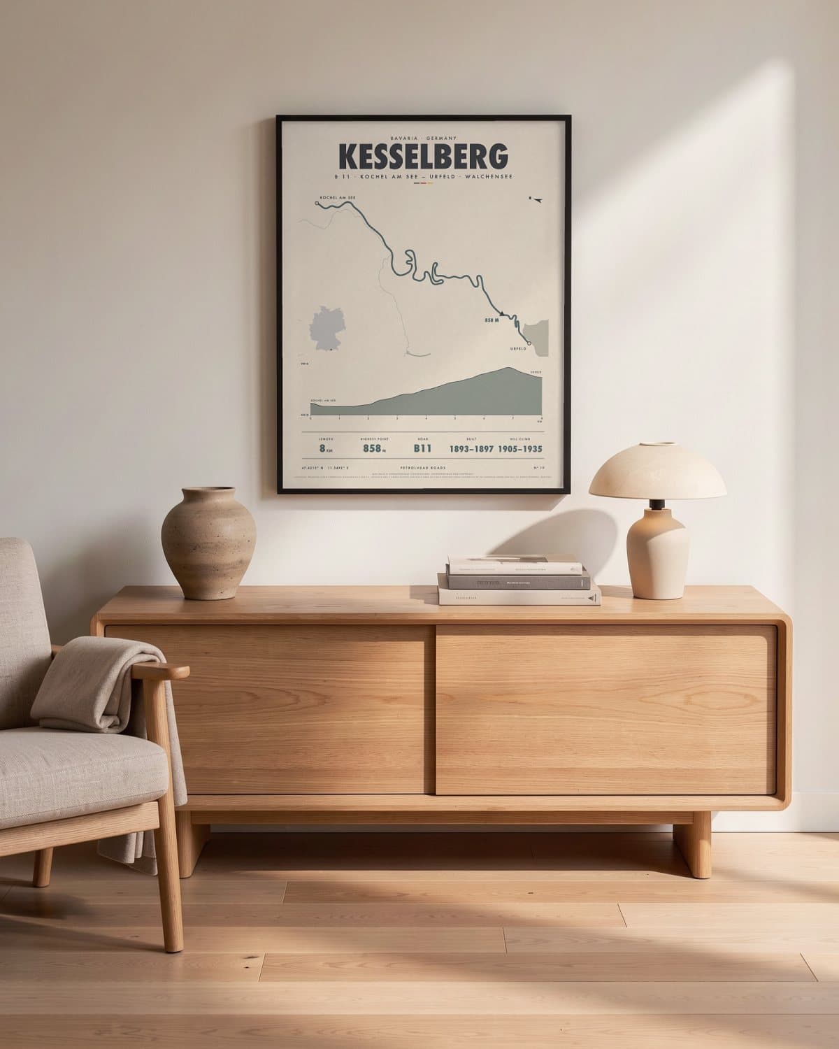
Living room
- Length
- 8KM
- Highest point
- 858M
- Road
- B11
- Built
- 1893–1897
- HILL CLIMB
- 1905–1935
Elevation profile
The story
Short, but with a past. Between Kochel am See and Urfeld, the B 11 climbs about eight kilometres of hairpins through the forest, from the Kochelsee up to the higher Walchensee, peaking at 858 metres. A road crossed the mountain as early as 1492; today's route largely took shape between 1893 and 1897. Hill climbs were run here in 1905 and 1907, and again from 1928 to 1935. These days there is a 60 km/h limit and no overtaking, and from April to October motorcycles may not ride uphill between 3 pm and 10 pm. For anyone who likes their bends to come with a story.
Print details
Paper and print
Printed to order by our print partner on Enhanced Matte Art paper (200 gsm). Framed prints come in a slim classic frame, black or natural, with acrylic glazing and no mount.
Delivery
We deliver across the EU. Delivery in the Netherlands usually takes 5–10 working days after your order, elsewhere in the EU a few days longer; personalised prints go into production only after you approve the proof.
Returns
Standard prints: 14 days to change your mind after delivery. Personalised prints are made to your details and cannot be returned, but you approve the exact proof first. Damaged or faulty prints are always replaced.
Sources. Map data © OpenStreetMap contributors, openstreetmap.org/copyright · elevation: produced using Copernicus worlddem-30 © dlr e.v. 2010-2014 and © airbus defence and space gmbh 2014-2018 provided under Copernicus by the European Union and esa; all rights reserved; modified.