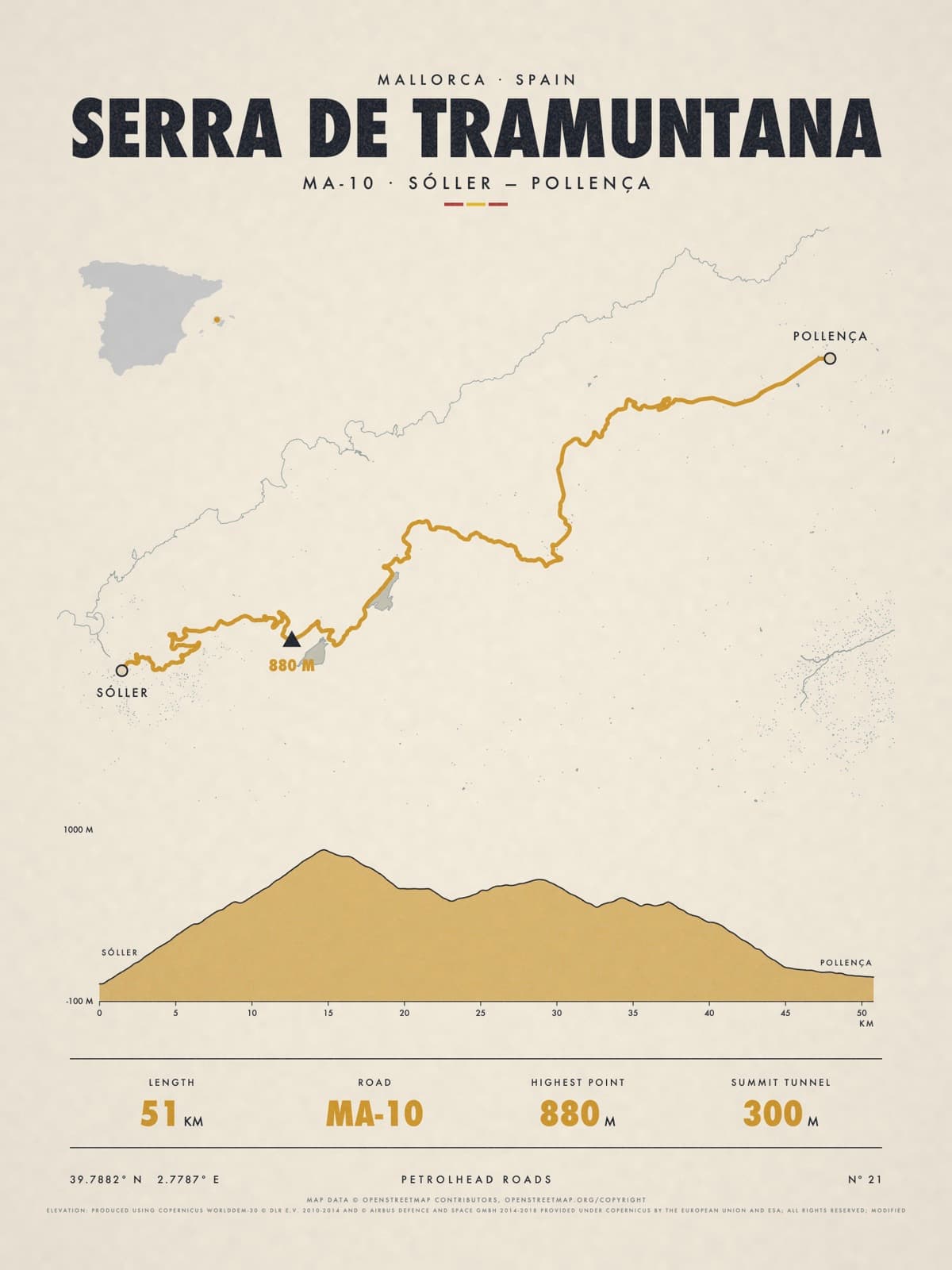
Nº 21 · Petrolhead road
SERRA DE TRAMUNTANA
Mallorca, Spain
MA-10 · SÓLLER — POLLENÇA
Shipping from €4.95; you choose the country in your bag.
€39
Printed from the catalogue artwork shown here, so there is no proof step.
On the wall
Shown: 45 × 60 cm, black frame. Room scenes are illustrations.
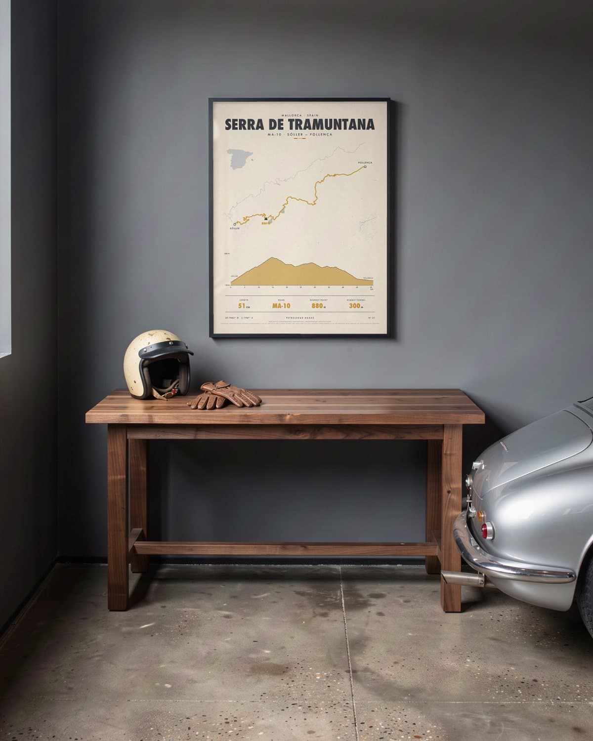
Home garage 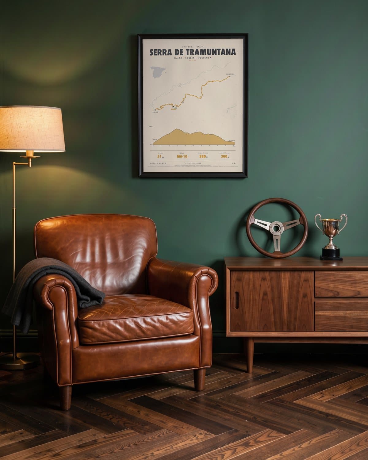
Green den 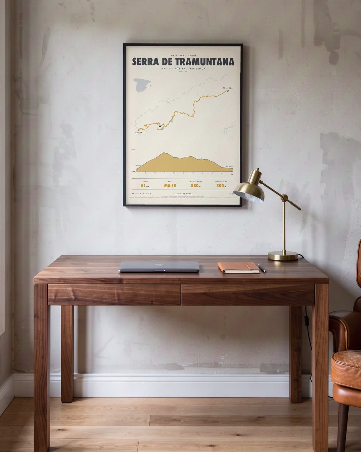
Home office 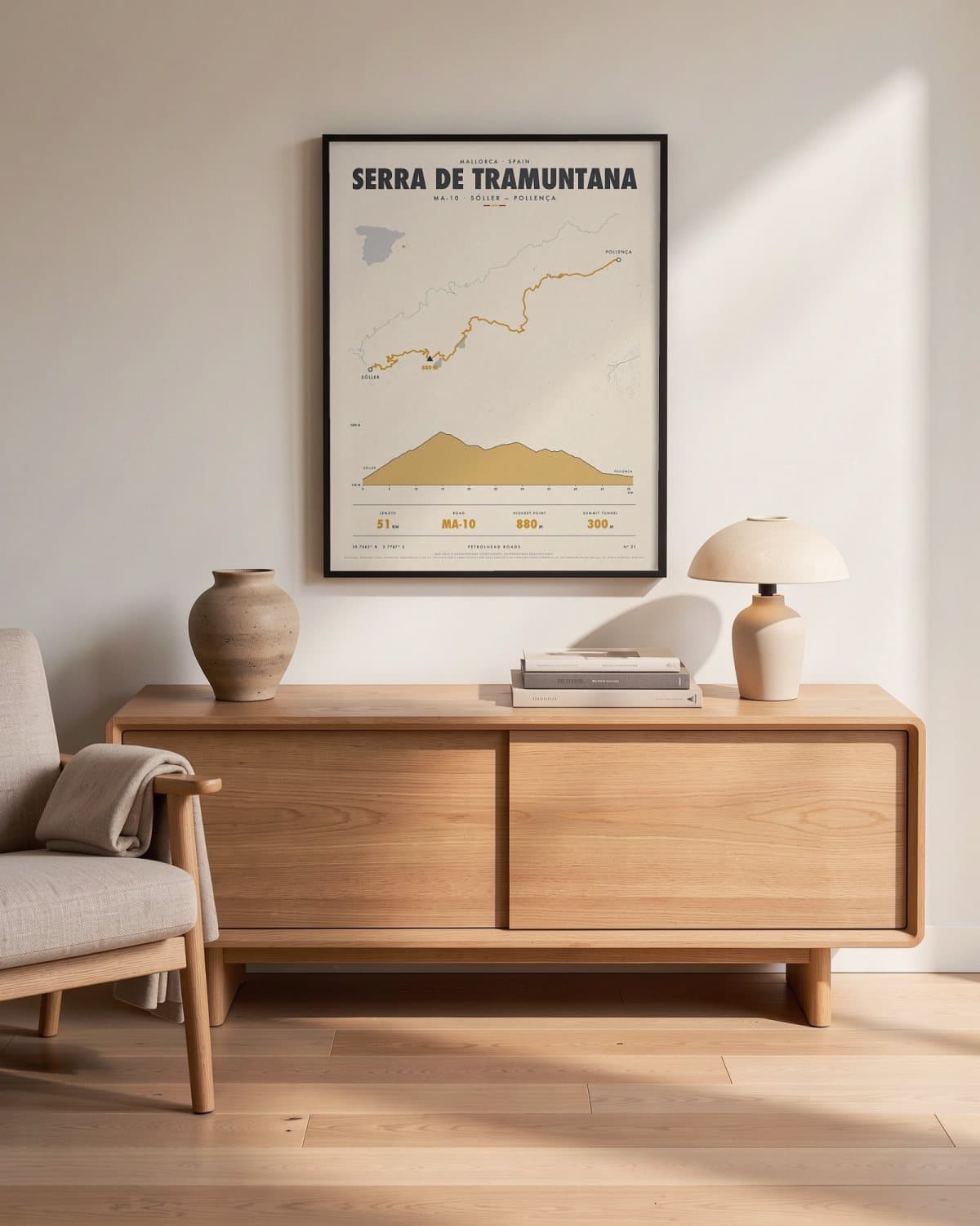
Living room
- Length
- 51KM
- Road
- MA-10
- Highest point
- 880M
- SUMMIT TUNNEL
- 300M
Elevation profile
The story
Out of the orange groves of the Sóller valley, the Ma-10 climbs into the Serra de Tramuntana in a long chain of bends, the bay dropping further below with every turn. Near the top you plunge into the unlit Monnàber tunnel, about 300 metres long, right beneath Puig Major, Mallorca's highest peak. Beyond it lies a quiet upland of bare limestone and the mountain reservoirs of Cúber and Gorg Blau. Past the monastery at Lluc, the road descends to Pollença. It is only part of the 112-kilometre Ma-10, but the highest and wildest part. For anyone who knows Mallorca from its mountain roads rather than its beaches.
Print details
Paper and print
Printed to order by our print partner on Enhanced Matte Art paper (200 gsm). Framed prints come in a slim classic frame, black or natural, with acrylic glazing and no mount.
Delivery
We deliver across the EU. Delivery in the Netherlands usually takes 5–10 working days after your order, elsewhere in the EU a few days longer; personalised prints go into production only after you approve the proof.
Returns
Standard prints: 14 days to change your mind after delivery. Personalised prints are made to your details and cannot be returned, but you approve the exact proof first. Damaged or faulty prints are always replaced.
Sources. Map data © OpenStreetMap contributors, openstreetmap.org/copyright · elevation: produced using Copernicus worlddem-30 © dlr e.v. 2010-2014 and © airbus defence and space gmbh 2014-2018 provided under Copernicus by the European Union and esa; all rights reserved; modified.