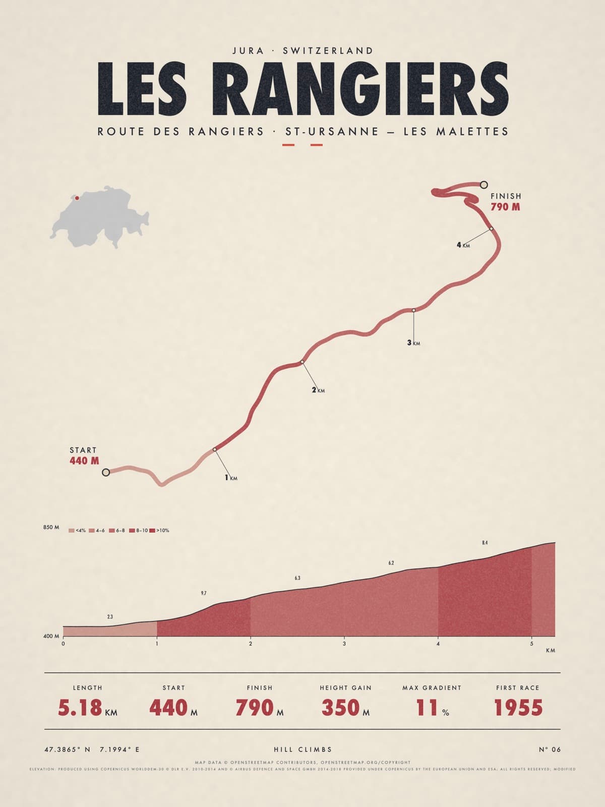
Nº 06 · Hill climb
LES RANGIERS
Jura, Switzerland
ROUTE DES RANGIERS · ST-URSANNE — LES MALETTES
Shipping from €4.95; you choose the country in your bag.
€39
Printed from the catalogue artwork shown here, so there is no proof step.
On the wall
Shown: 45 × 60 cm, black frame. Room scenes are illustrations.
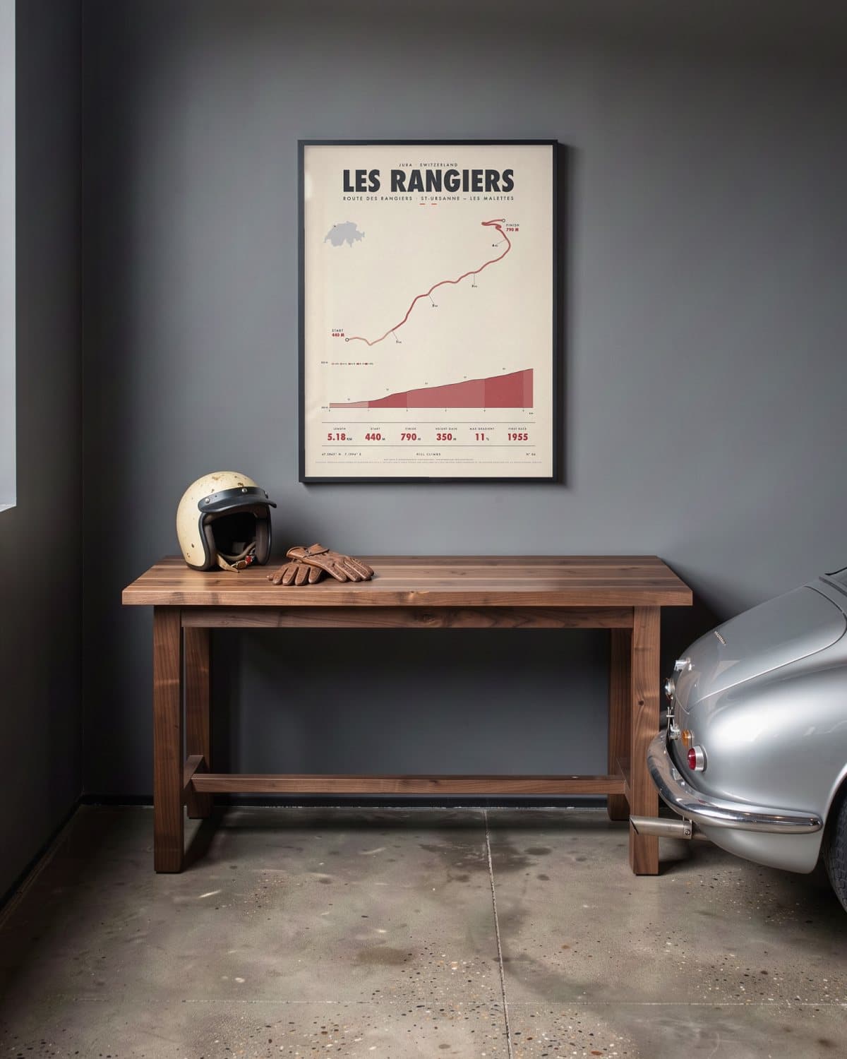
Home garage 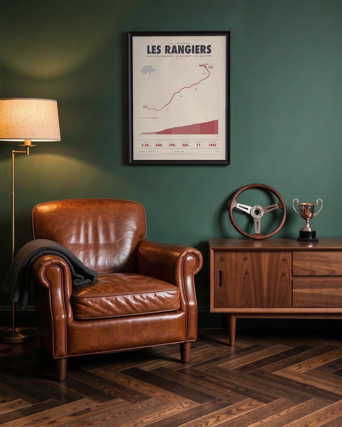
Green den 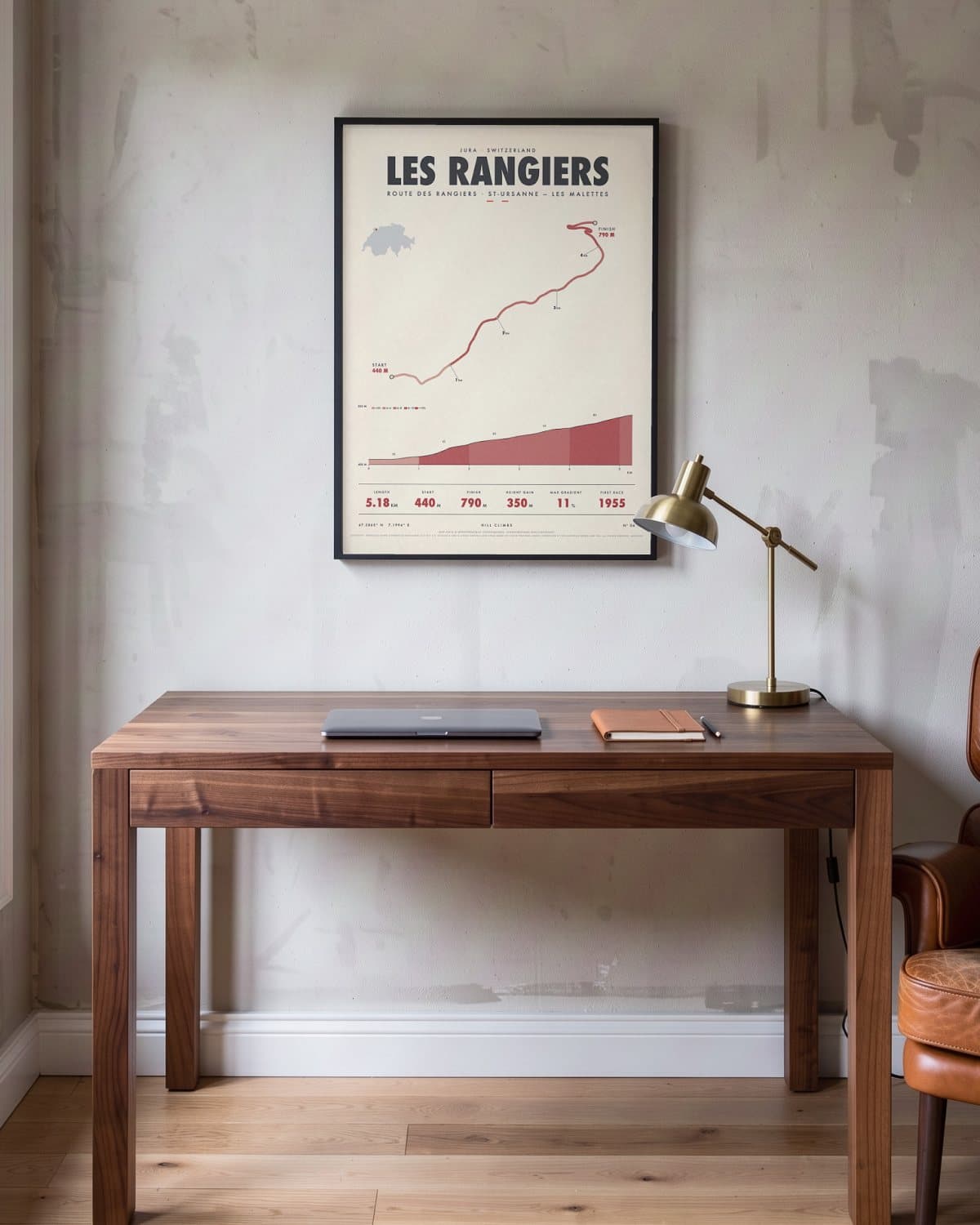
Home office 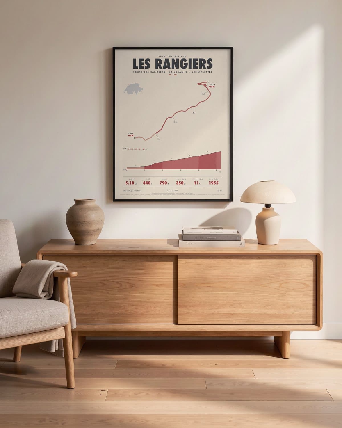
Living room
- Length
- 5.18KM
- Start
- 440M
- Finish
- 790M
- Height gain
- 350M
- Max gradient
- 11%
- First race
- 1955
Elevation profile
The story
The start is beside the Doubs, at the edge of the medieval town of St-Ursanne; from there the road climbs 5.18 km and 350 m through the Jura to Les Malettes, just below the Col des Rangiers. The organisers call it the fastest course in the European championship, with winning averages above 180 km/h, and corners such as Le Garage and Les Grippons punish any hesitation. The event began in 1926 on the far side of the pass, from Develier, and moved to this road in 1955. Since 1972 it has been Switzerland's only round of the European championship. For fans who like their hill climbs flat out.
Print details
Paper and print
Printed to order by our print partner on Enhanced Matte Art paper (200 gsm). Framed prints come in a slim classic frame, black or natural, with acrylic glazing and no mount.
Delivery
We deliver across the EU. Delivery in the Netherlands usually takes 5–10 working days after your order, elsewhere in the EU a few days longer; personalised prints go into production only after you approve the proof.
Returns
Standard prints: 14 days to change your mind after delivery. Personalised prints are made to your details and cannot be returned, but you approve the exact proof first. Damaged or faulty prints are always replaced.
Sources. Map data © OpenStreetMap contributors, openstreetmap.org/copyright · elevation: produced using Copernicus worlddem-30 © dlr e.v. 2010-2014 and © airbus defence and space gmbh 2014-2018 provided under Copernicus by the European Union and esa; all rights reserved; modified.